2015 Sept Sierra Hike to Kaweah Basin
High Sierra Trail from Crescent Meadow, then off trail over Pyra Queen Col. Kaweah Basin, Red Spur Bench, Kaweah Pass, Chagoopa Plateau, then return via High Sierra Trail
This is a work in progress
Sept 2015 Kaweah Basin Hike
15.Sept.2015 -- 25.Sept.2015
Intro
The Red Spur Bench is the rocky plateau on the far side of the Red Spur Ridge. It is accessible over a small hill at the east end of the Kaweah Basin. It is about a five day hike from the trailhead in Crescent Meadow.
I had wanted to return to the Red Spur bench for some time. I had initially explored the Picket Creek, Kaweah Basin, and the Red Spur bench in 2004. On that trip I had entered the backcountry over Pants Pass from the Nine Lakes basin. It had been my first solo trip of any lenght; it was quite a thrill. I tried to return in 2011 but a pulled muscle at Bearpaw meadow made me too cautious to attempt it. This trip was possible because I had retired two months earlier. The free time gave me the option of taking some extra extended trips.
This time I planned to enter the Kaweah basin over Pyra Queen Col. I had visited the pass from the Kaweah basin during my 2004 trip, but couldn't find the way over (east to west). I had to turn around and exit via Kaweah Pass. This time I read up on the experiences of others. I also had Google Earth to help me this time. I planned a west to east traverse on my fourth hiking day.
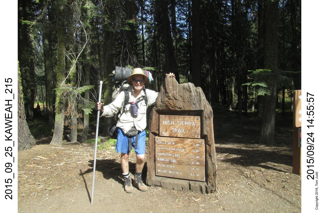
Day 0, Lodgepole Campground
15.Sept.2015. My Official Weight 167 pounds (76 kg) was a bit high. My frame backpack came to 47# (27kg) including five pounds of water. It was Tuesday, so there was a lot of LA traffic to get through going on up to Sequoia NP.. I was able to grab my permit at the Lodgepole visitor center just before they closed.
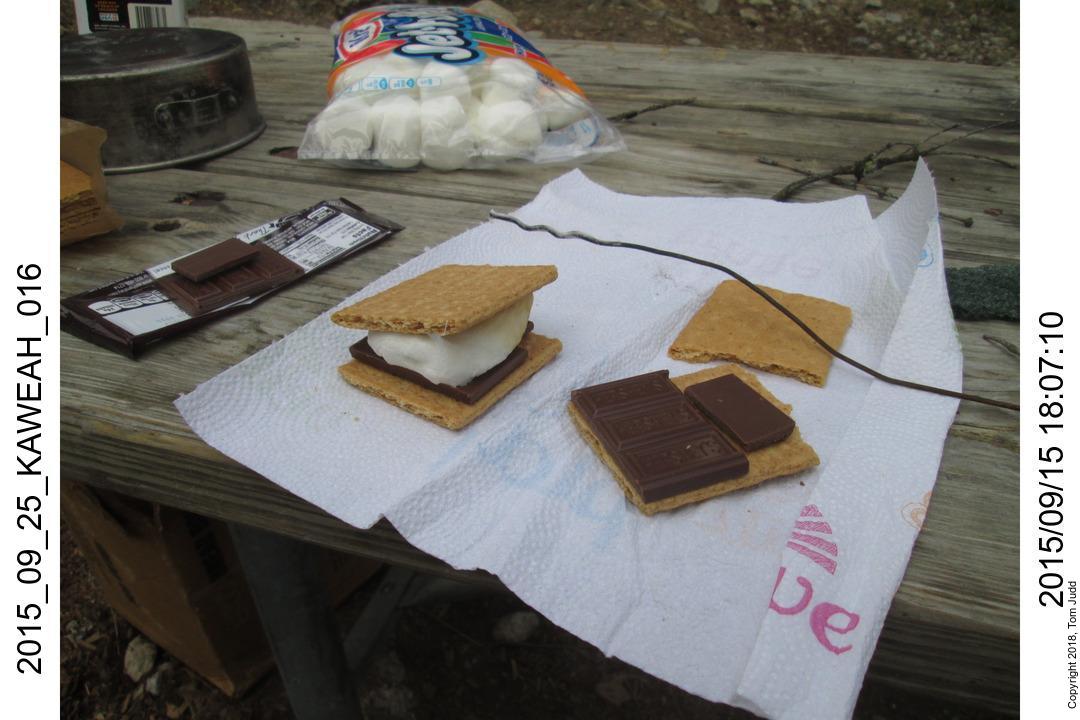
I had prepared all my camp food beforehand, and then froze it. I thawed the chicken pot pie for dinner on my Coleman stove. Easy and delicious. S'mores for dessert.
S'more heated over the fire on coathanger spits:
Day 1, Lone Pine Creek
16.Sept.2015. First hiking day. I was up just after 4AM. Breakfast was bottled coffee, pancakes, syrup, bacon, all prepared beforehand; just reheat. The early start enabled me to get past Bearpaw Meadow. I camped up along Lone Pine Creek. Further up the creek from the trail there is a old concrete bridge that is mostly washed away. I found a tiny area up from that crossing that was big enough for a sleeping bag. There is another flat area along the trail, but it is a long hike to water.
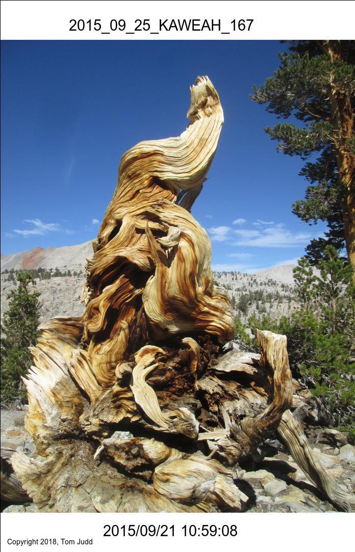
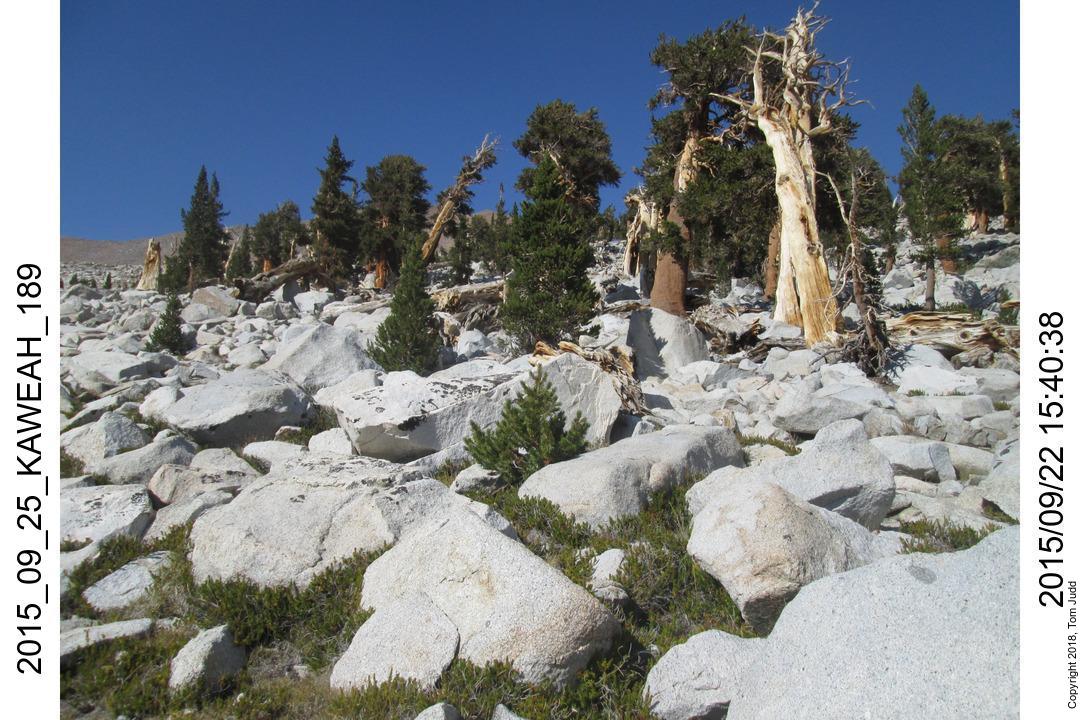
My pet tree atop a bluff between Bearpaw and Lone Pine Creek. I take its picture whenever I pass:
Day 2, Kaweah Gap and Nine Lakes Basin
17.Sept.2015. Up at 6:12 started on the trail at 7:41. It is a tough climb today, more than 1000m. When I got to Hamilton falls I scouted for a campsite. There were a couple of places, one of which I used on the way back. The switchbacks just keep going up above Hamilton lake. Precipice Lake was unusually beautiful this year. Very colorful. Sometimes there are ice floes even late in the year. I was really dragging the last couple of hundred feet to Kaweah Gap. Crested at about 4:30. I was down in the basin with my tent up and dinner done by 6:30. It was a relatively warm 54.5 (12.5 C) degrees at bedtime.
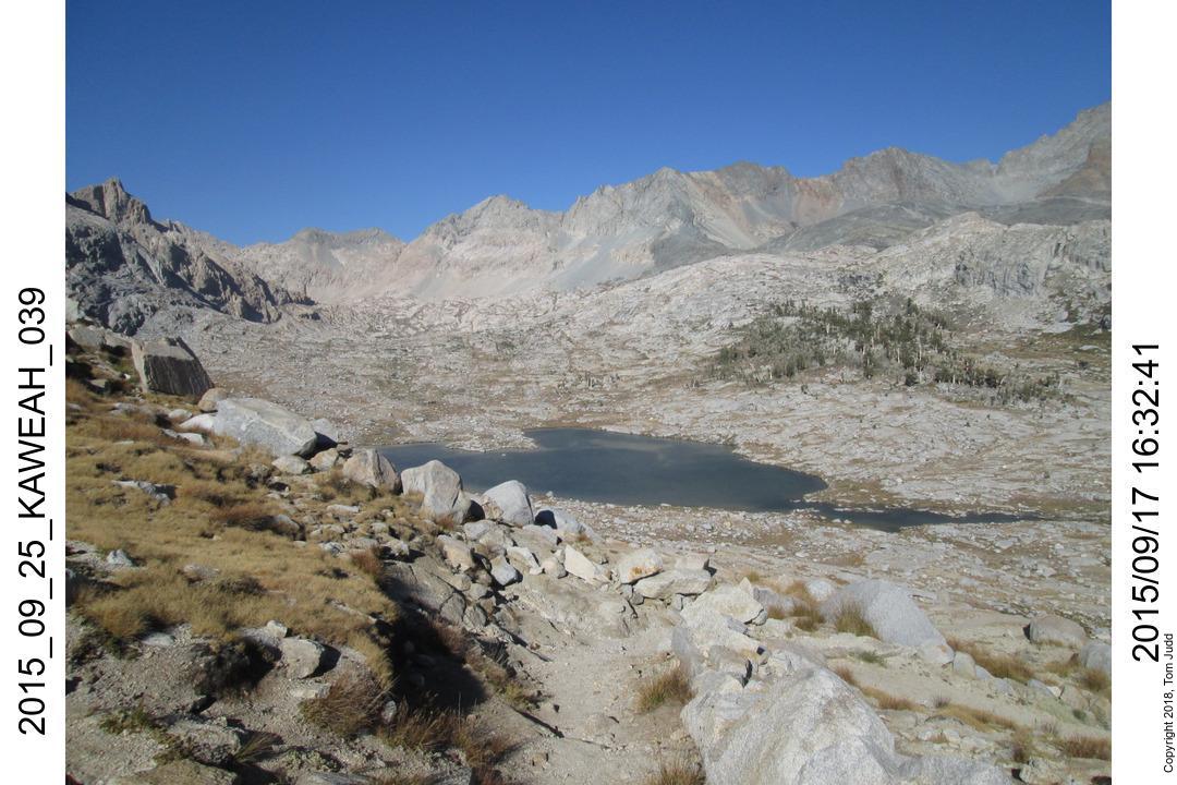
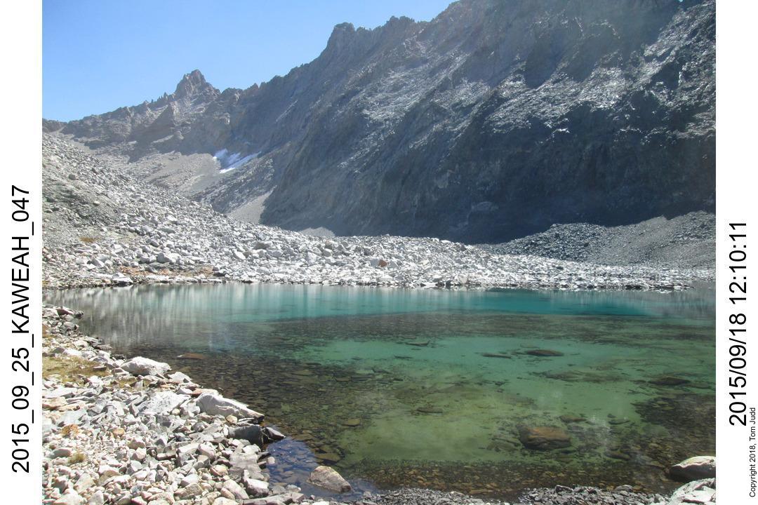
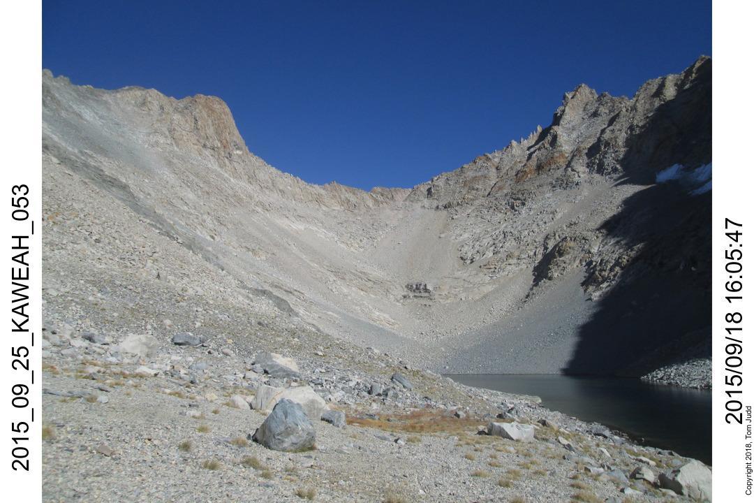
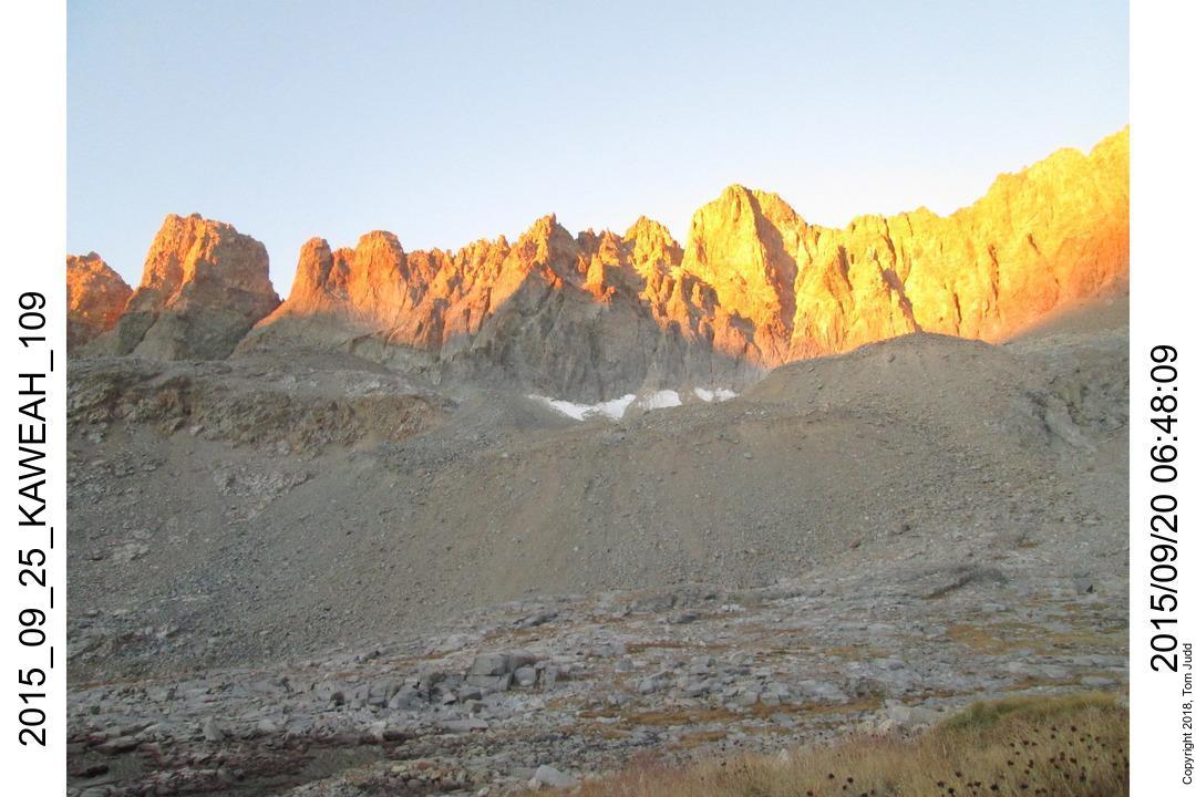
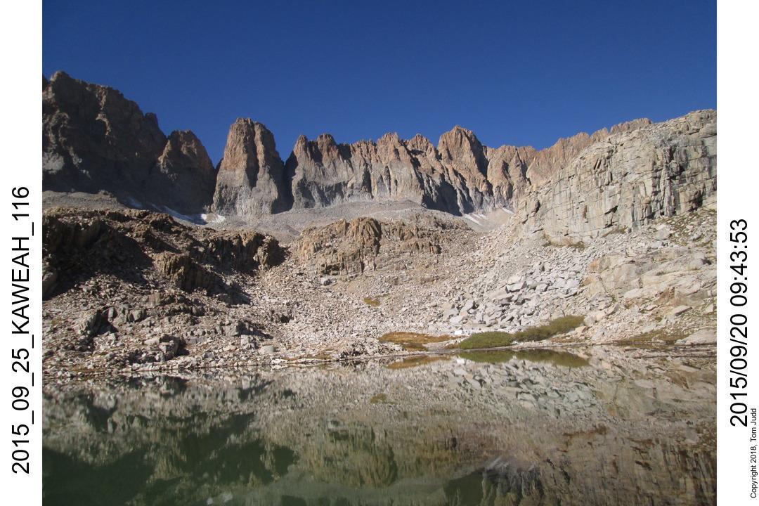
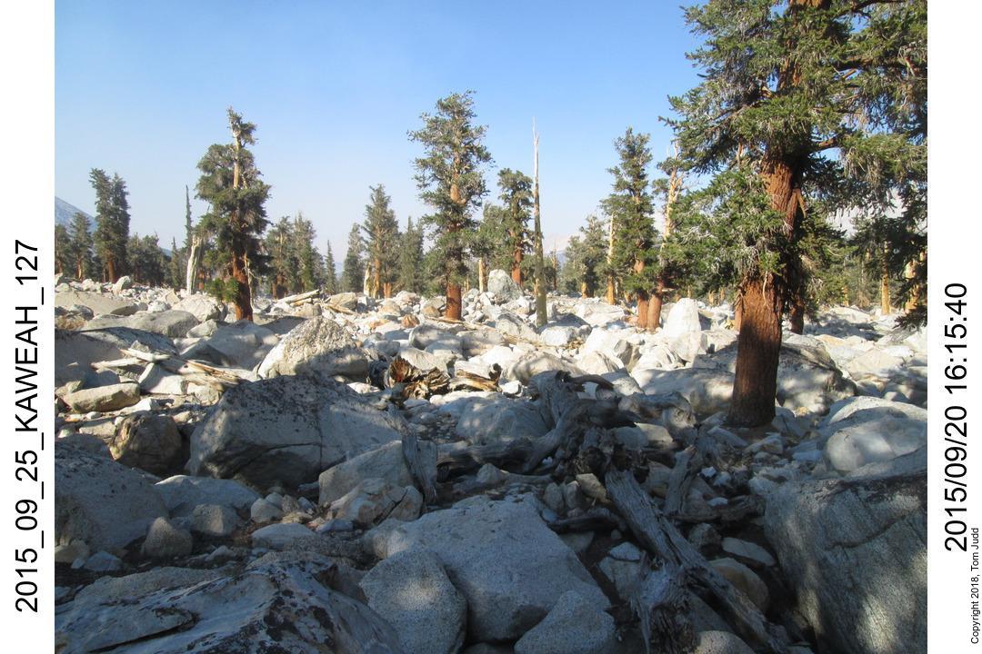
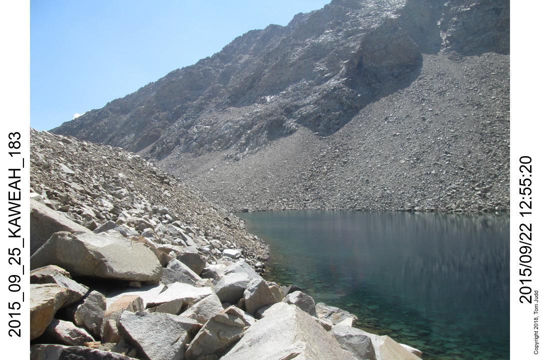
Day 3, Lake 11682 below Black Kaweah
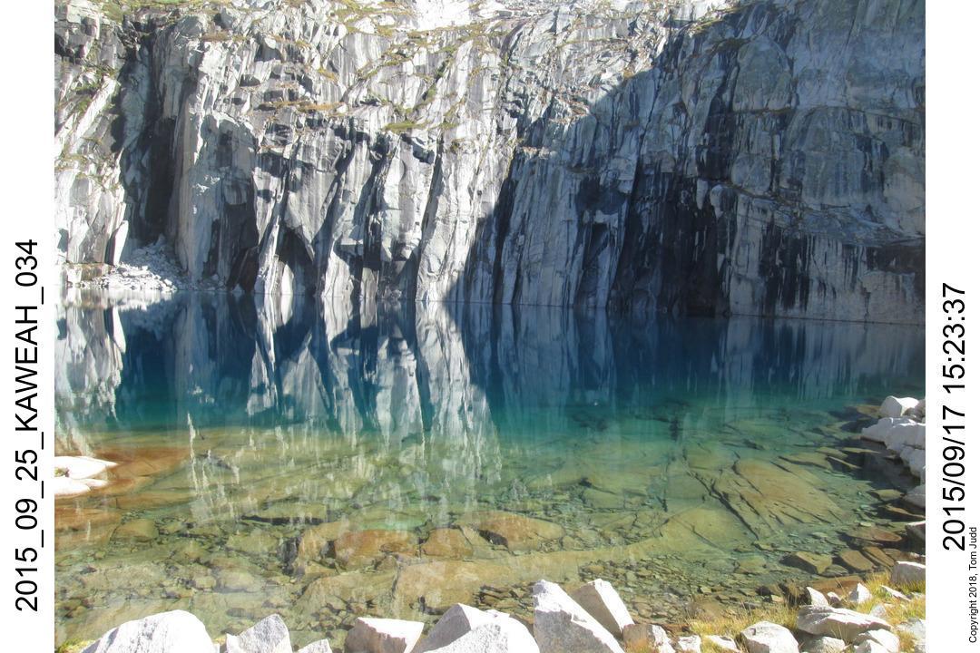
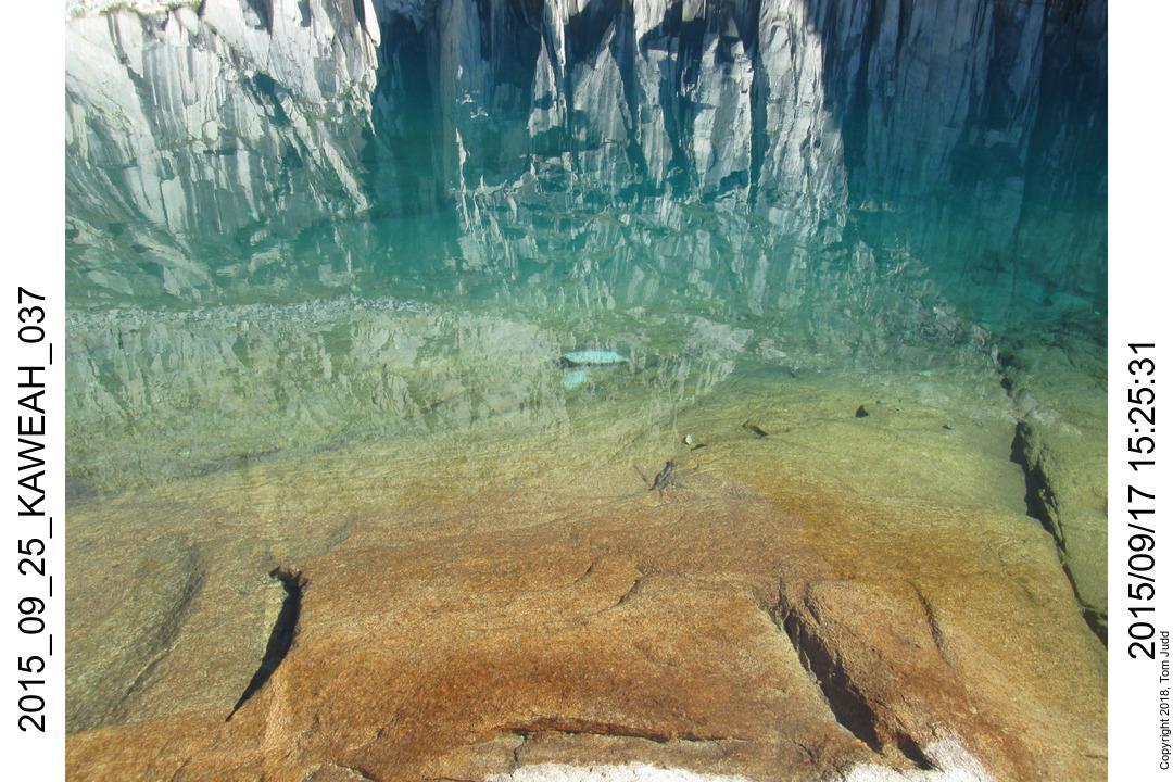
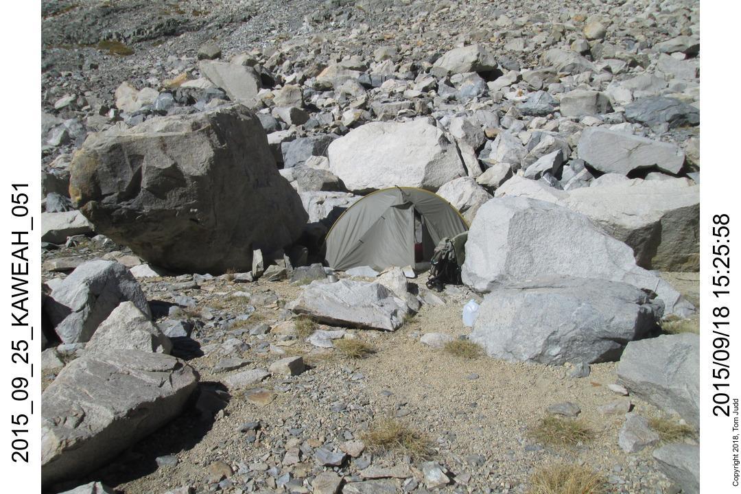
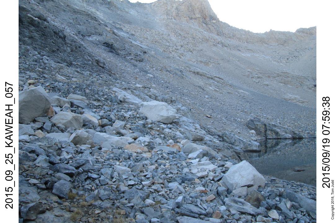
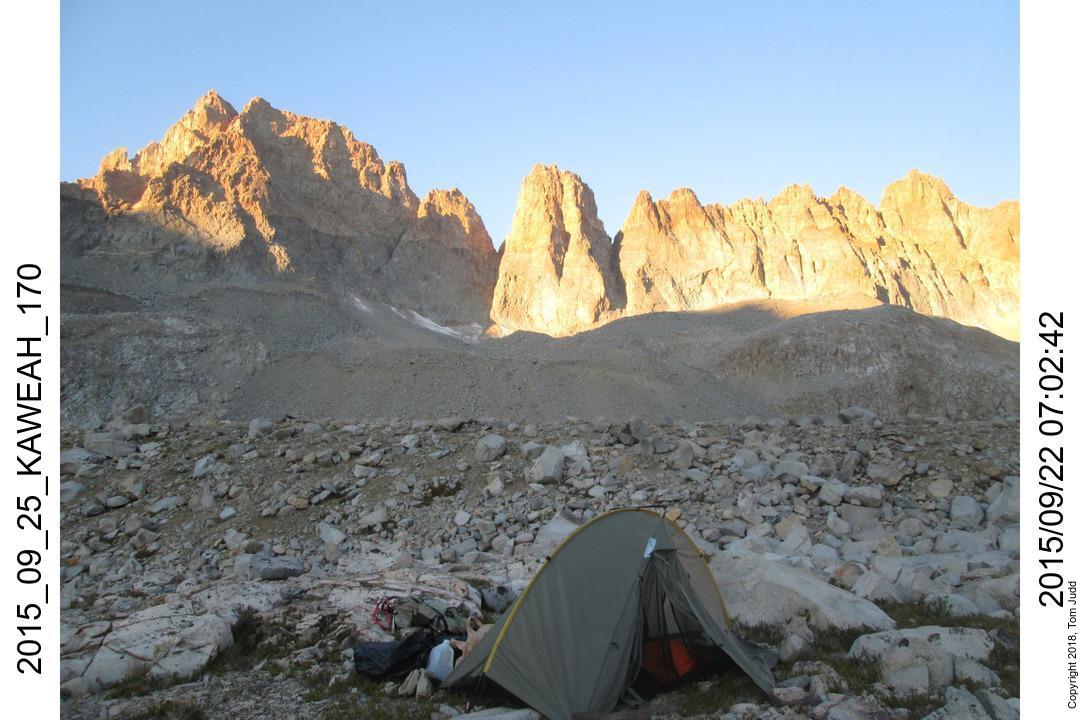
18.Sept.2015. Up at 6:18 started on the trail at 8:15. Overnight low was 33.5 ( 1 C). I climbed up through the trees past campsite 2 then circled around into the valley to the right. I was surprised to find a faint use trail. Just past the lowest lake at 11427 I ran into a steep part. Next time go higher along the ridge to the right. Once I crested I could see the turquoise waters of lake 11619. It is slow going because of all the rocks. Passed a nice campsite about 1:30. I tried going on a bit because it was so early, but saw I couldn't make it to another level campsite before dark. Went back to an early campsite 3 nestled amongst the boulders. See the leftmost marker in the campsite map below.
Kaweah Basin Campsites
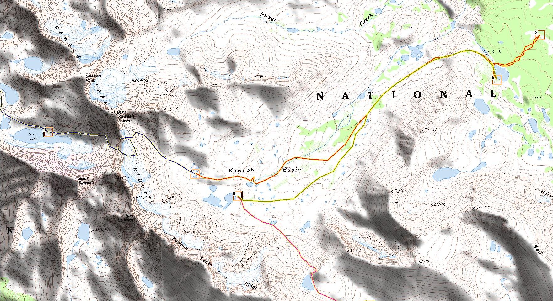
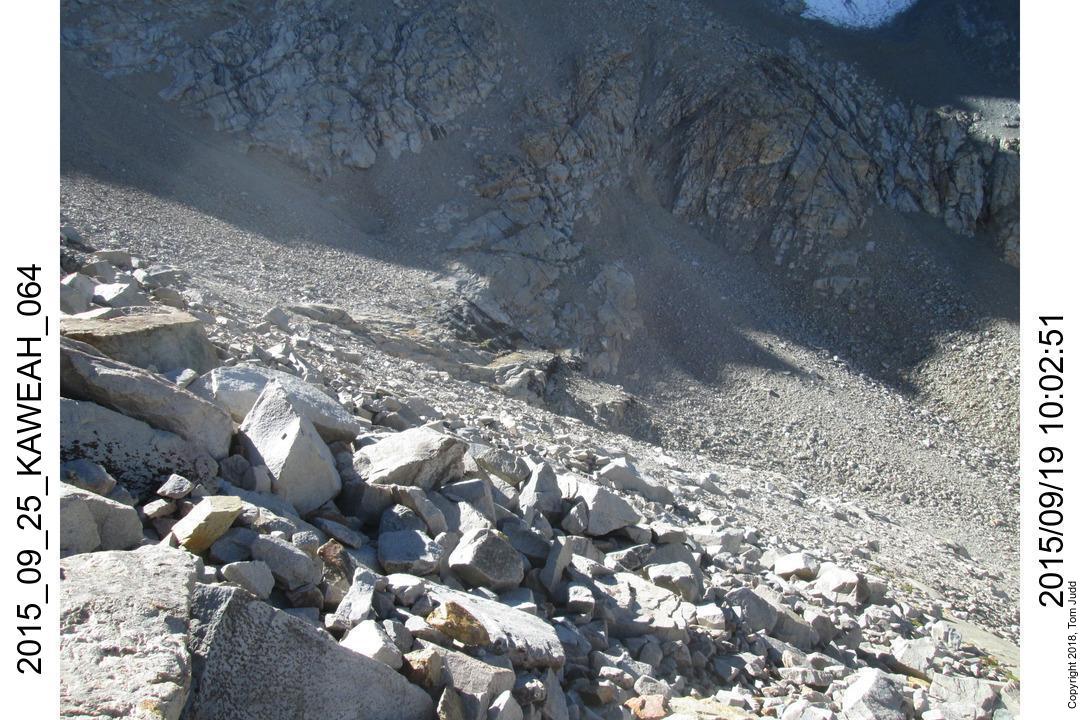
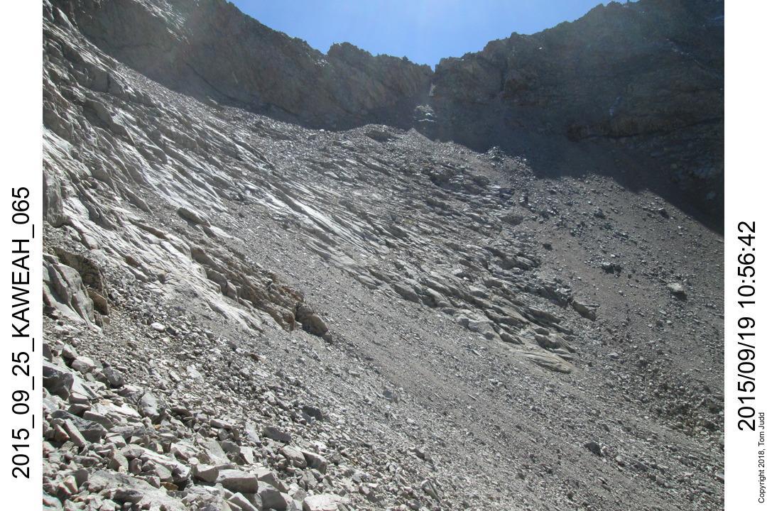
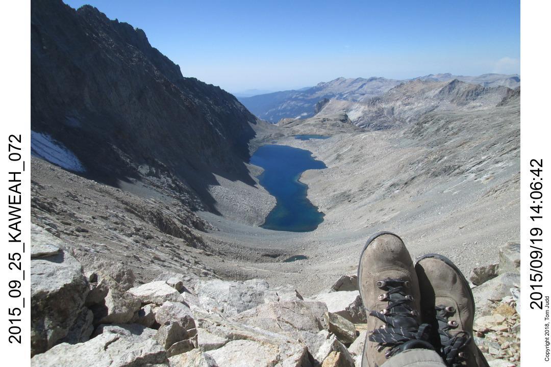
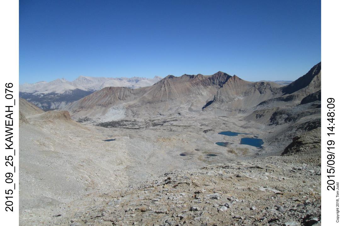
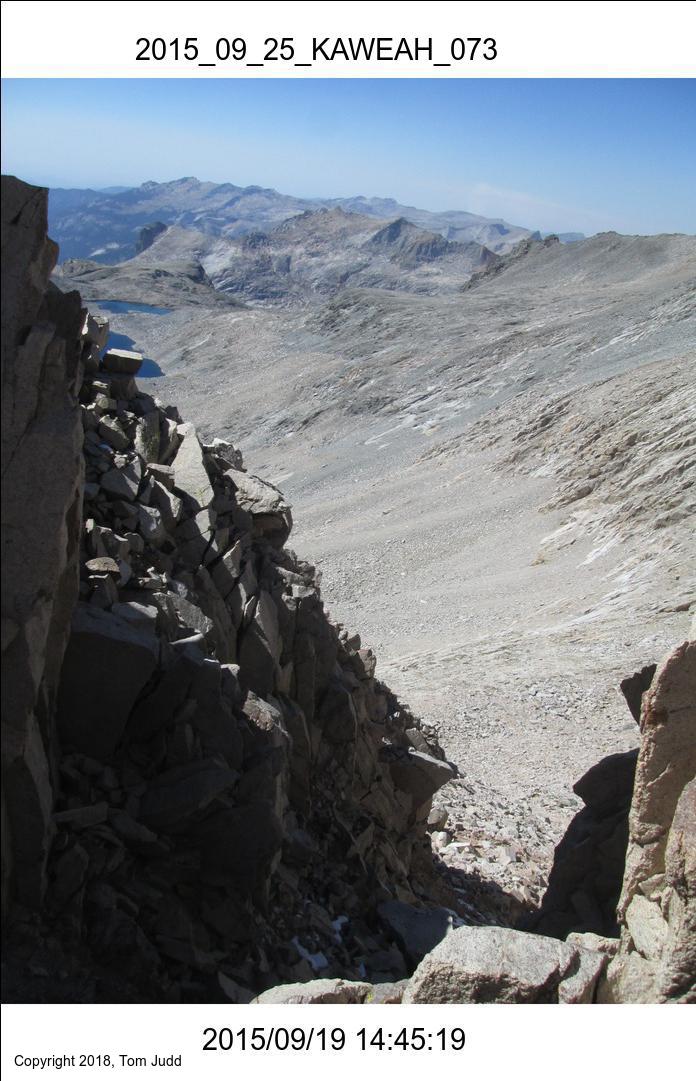
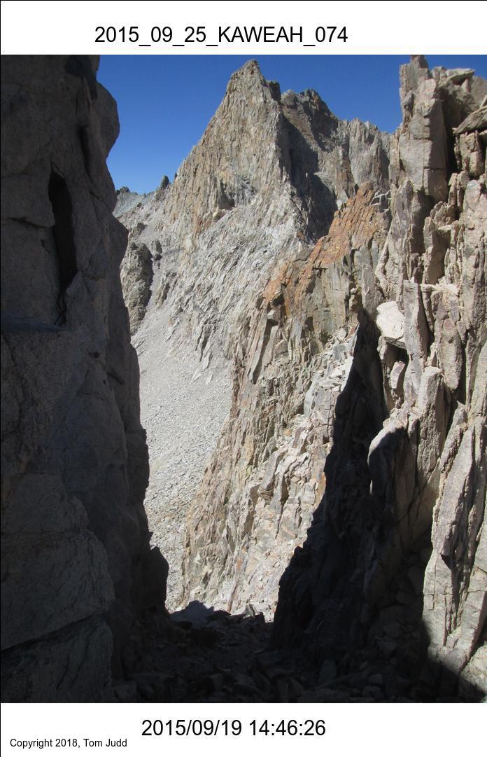
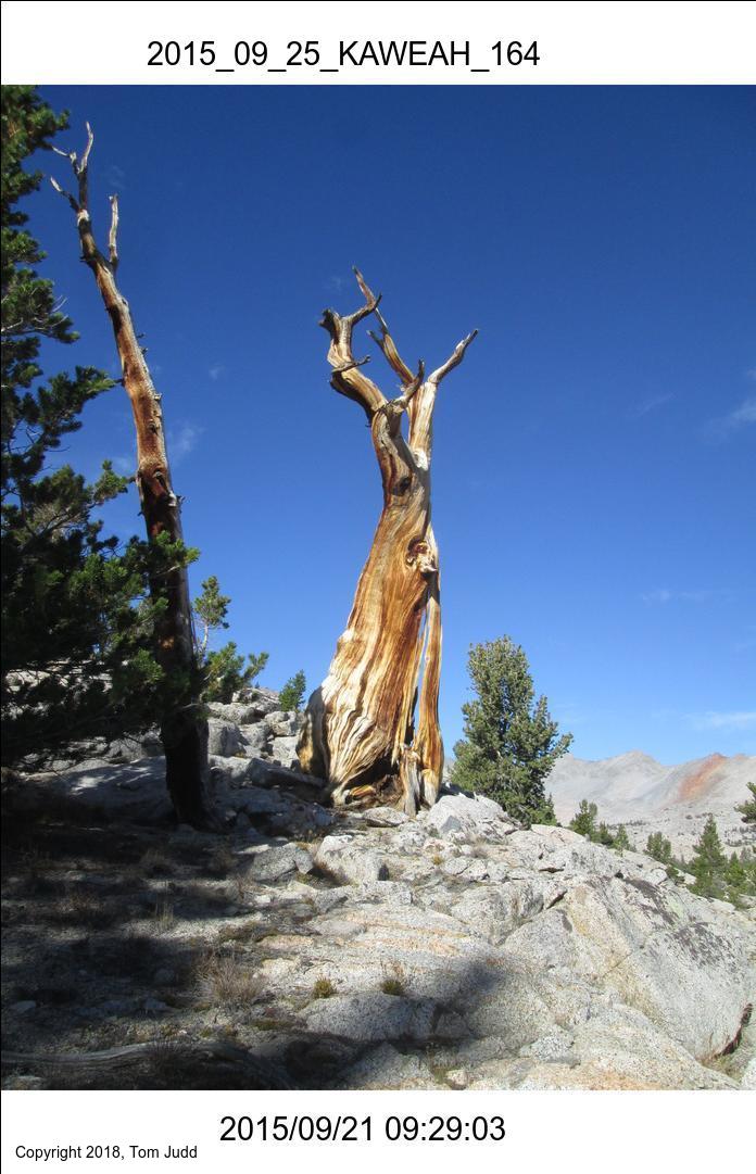
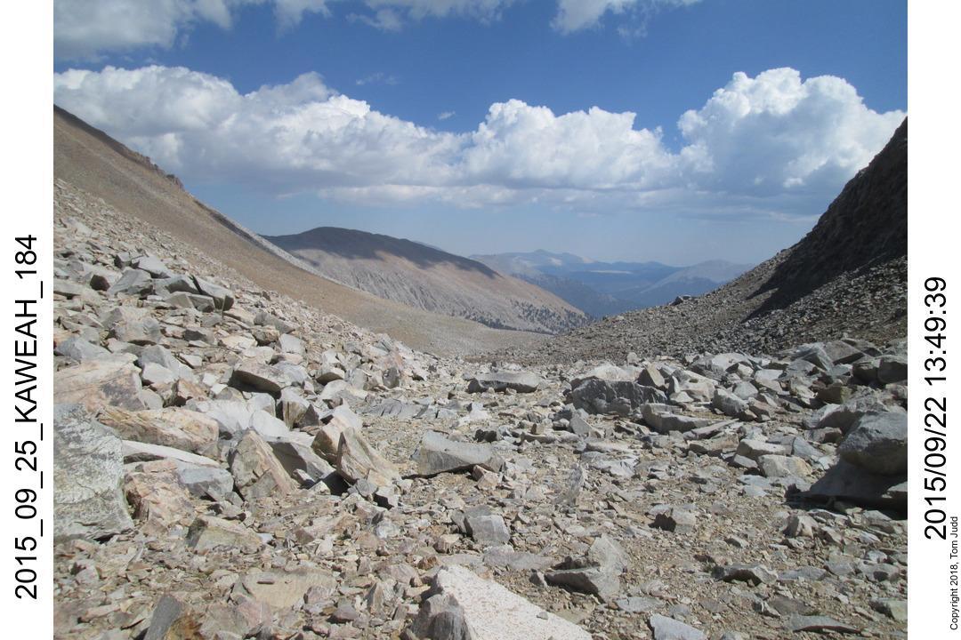
Day 4, Over Pyra Queen Col
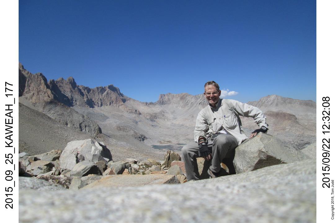
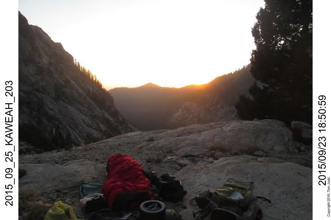
19.Sept.2015. This was the most interesting day so far. I had been wanting to get over Pyra Queen Col for years. This was the day I finally did. It took a bit longer than I expected. I tried going high on the left side going up, but ended up coming down to get around the rocks. Took almost 7 hours from campsite to crest. Sightsee for two hours and then another three hours down to a level spot to camp. Tent was up at dusk. It had flattened out, so I could have safely gone further by flashlight.
Next time I will probably try from east to west. The east side is rocky, but not slippery. Going down the west side scree might even be fun.
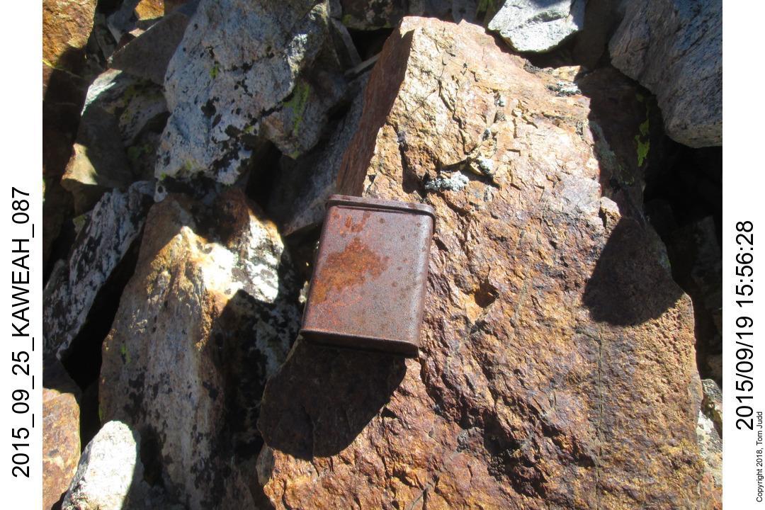
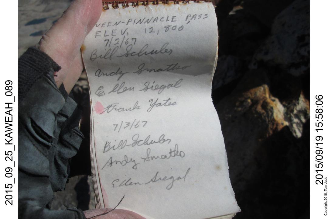
Pyra Queen Col Log Book
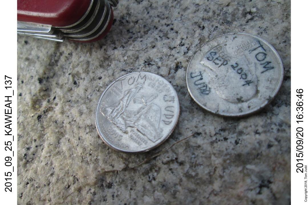
Before I came down from the pass I had one more item to attend to. One of my goals on this hike was to revisit the Log Book. It was over at the false pass protected from the elements under a rock out of sight; so you had to know it was there. Bill Schuler, Andy Smatko, Ellen Siegal, and Frank Yates were the pioneer hikers who visited here in 1967. My first entry in it was from Sept 2004. Bill Finch has three entries spanning 1991 to 1994. His accounts on his web page gave me the incentive and courage to try making the hike on my own. Thus, I made my second entry in the log book eleven years after the first (Sept 2015). I turned 68 in Oct 2015; so I was quite pleased and thankful that I could still hike.
Day 5, Red Spur Bench
20.Sept.2015. This was another interesting day. I remember a large white marble rock with a beautiful rose colored swirling star from my last trip. It was out on the bench. I was so impressed with its beauty I wanted to get a picture of it. In addition I had buried an engraved medallion (coin) and I wanted to revisit it.
Well, there are a lot of red and white marble rocks there, some fairly pretty. But none were as beautiful and large as I remember. The coin I did find; and I added a second to the cache. So, here is how the day went.
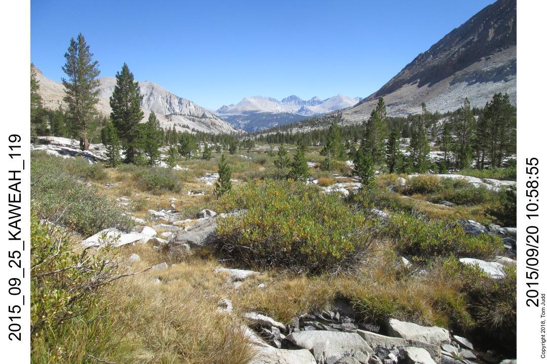
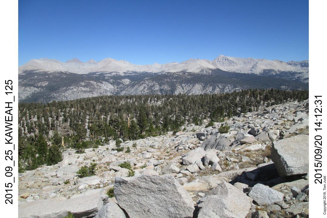
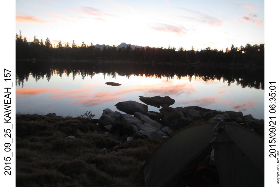
Day 6, Back up to Central Kaweah Basin
21.Sept.2015. I had touched all the goals of my trip. Now it was time to return home.
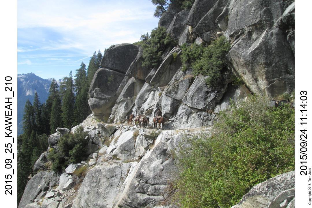
Day 7, Over Kaweah Pass to Lookout Creek
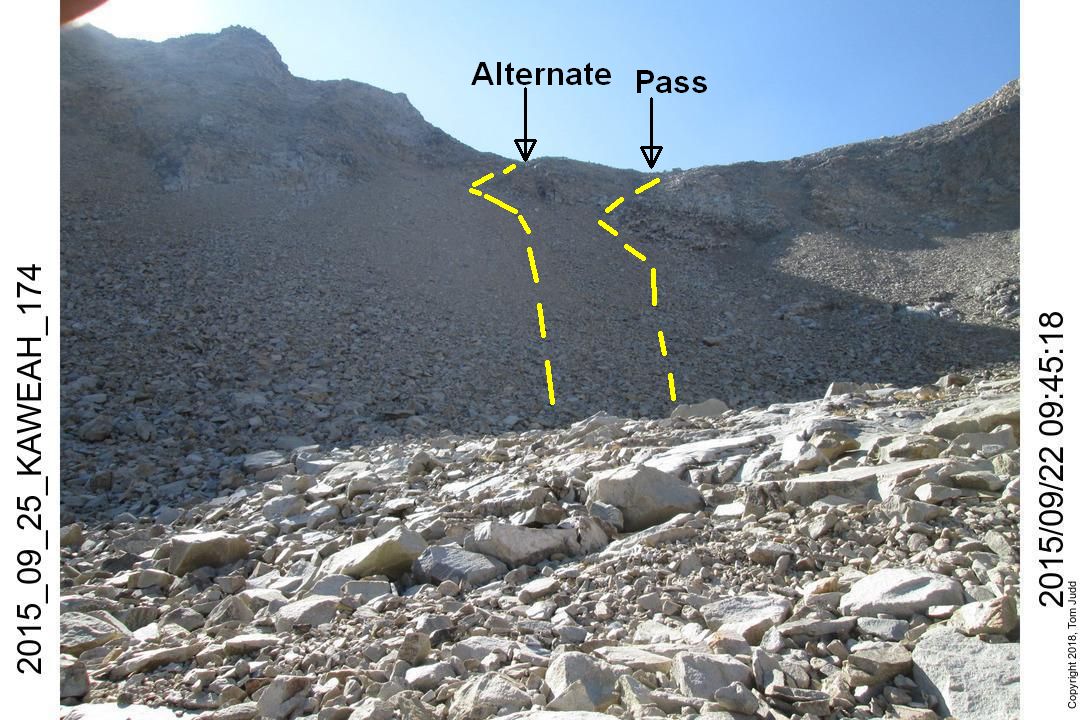
The scariest part was the last chute. I had done this before, but took the wrong chute this time and ended in what looked like a dead end. I started up the chute 50 to 100 feet to the left of where I should have been. I was thinking left because I zigged to the left the last time I went up. See the yellow tracks in the picture. At about 50 feet from the crest of the alternate pass I chickend out. It was getting too dangerous. I looked down. That was scary too. I looked at my watch. Perhaps it would take till 1:00 to get down the chute? and how long to get over to the correct path. At this point I did not know how far off I was. Would I have to go all the way down and start over? Would this delay me so I would have to spend another day in the basin. I started back down. I went 5 to 10 feet along an easy ledge. But then it got really scary. Do I really have to do this?
I turned around and looked back up. Yes it looked bad. But, let's think a bit. I walked my eyes through a plan to cover the last bit up. Yes it was doable. The separation between safe handholds was greater than I usually attempt, but seemed reasonable. I walked carefully back the few feet and started up to the first hand/foot rest. I remember I had to put my knee on it, it was too far for my foot. I got by the first ledge, the rest was easier. It worked. I always had solid footing and/or a good hand hold. But I think this was a class 3 stretch. It was a mistake to put myself into that situation.
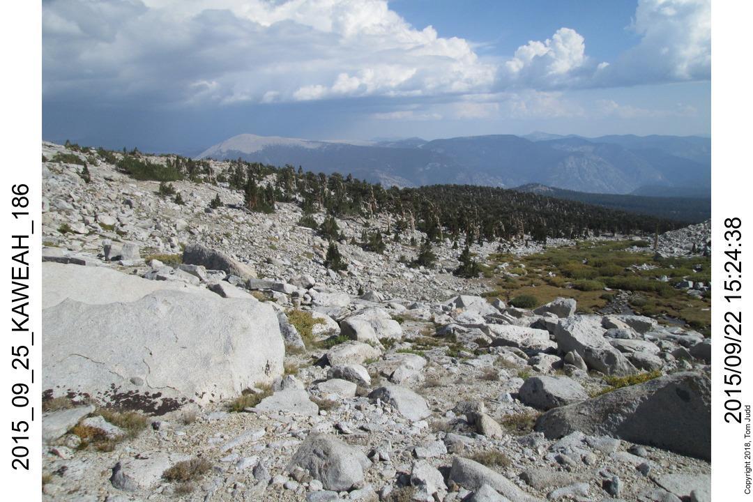
Day 8, Hamilton Falls
I had been on all no-cook food until now. To celebrate my return to civilization I broke out my butane stove and had hot coffee with breakfast. It is a short hike to the High Sierra Trail from camp 7. I made it all the way over Kaweah Gap and down past Precipice Lake and Hamilton Lake. I played tag with a group of hikers from San Diego the whole way. They stopped at the lake, I wanted to get home. I stopped a bit further at Hamilton Falls where I found a flat space behind some trees. It is pretty and comfortable, but I do not recommend it because it is not an official campsite. But late in the year it was quiet, no one walked by, so there was no one to say otherwise.
Day 9, Trailhead
I got an early start. Up by 5 8:33 Bearpaw, 9:17 Buck Creek, 11:46 Alta trail, 12:01 Mherten Creek, 1:39 Wolverton cutoff, 2:57 Trailhead. Got to Apple Annie's in Tulare about 5:30. It was getting late so I stayed overnight at the Red Roof Inn across the parking lot
Day 10, Home
Friday Sept 25, 20157:29 leaving Tulare
12:07 Home.
©2017, 2018 Tom Judd.
www.juddzone.com
Carlsbad, CA
USA