2016 August Sierra Hike
Kearsarge Pass, Glen Pass, Rae Lakes, Pinchot Pass, Mather Pass, Norman Clyde peak view, Dusy Basin, Bishop Pass
This is a work in progress
Intro
Rick's plan for the trip, and my previous experience hiking with him suggested to me that I was in for a grueling trip. So, I focused on reducing the weight of my pack, hoping that it would enable me to keep up with him. I bought a lighter sleeping bag and a bivy sack; I planned to use my Six-Moons poncho-tent in case it rained. I was semi-ruthless in eliminating weight. No pot or butane or burner (700g). No star chart, no pulse-oximiter (first time in 15 years). No spare batteries. No change of clothes (except for sox). I got down to 40 pounds including food and water. Probably 41 with last minute stuff. I usually do around 50.
8 Aug, 2016 Kearsarge Pass
Official Weight 166.8lb (75.7kg)
4:21 AM leaving Carlsbad - -
9:09 Ranger Station in Lone Pine. It usually takes about
five hours from home. Picked up a permit for Kearsarge Pass.
Had breakfast in McDonalds while waiting for Rick. - -
10:10 Left McD with Rick. Going up to South Lake to leave his car. - -
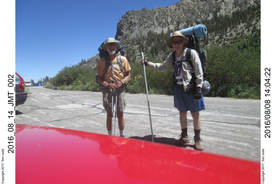
11:45 We both arrived at South Lake. He transferred his backpack to my
car and we drove back. Got to the trailhead in Onion Valley; suited up.
I noted how much lighter it felt compared to my 50 pound test pack.
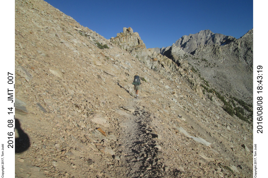
2:03 Start approx 9200 feet (2800m). Started in shorts, but by the time I got to the pass I had on my pants and vest. - - 6:26 Kearsarge Pass. 11,760 feet (3584m). About a 2700 foot climb. We hiked down to look for water and a flat spot. Found one close to the trail, but nobody came by. The creek merely dribbled and I had to fill up on water the next day. Finished dinner by eight, the sun had just set and I finished preparing for bed with a flashlight.
It was cold! My jaw was chattering. I stuck my bare feet down my new sleeping bag and it felt like ice water. My body was depressed from the hiking effort, so I wasn't putting out heat. I compressed as much as I could, I had every stitch of clothes on. I was wondering if I would get any sleep. I had doubts about my newly purchased sleeping bag. It took a long time to warm up. I finally did doze off. I was up at 1:30 AM to P. I had recovered; slept well after that. I opened up the bivy somewhat because of the condensation. Campsite approx 11.3K feet (3444 m).
9 Aug, 2016 Glen Pass
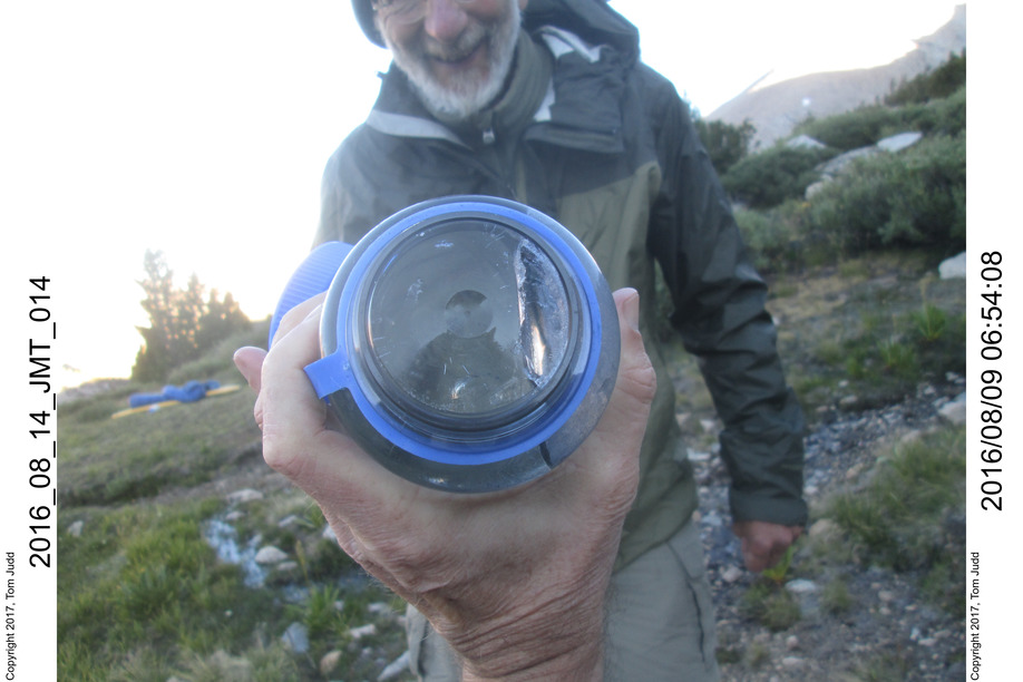
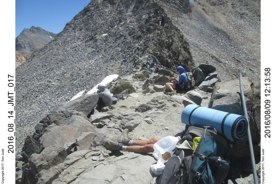
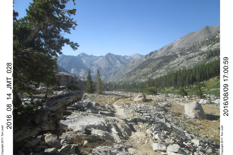
5:52 Current temperature 23.2 degrees F. My new sleeping bag is only rated to 30. My down coat and vest made it possible to sleep. I had long icicles in my water bottle, Rick's froze solid. - - 8:12 Start - - 12:13 Glen Pass. Paused to snack and rest. Five or so other hikers were resting there. Many many hikers are doing the JMT, or a portion of it, or the reverse of what we are doing (South lake to Kearsarge pass). Those on the JMT are at day 18-22 or so. The Rae Lakes did not seem impressive from the top of Glen pass. They looked much better once you got into the trees near the shoreline. Paradise Valley is prettier. - - 12:46 Restart. Got to the bridge over Wood's creek at 6:45. It took a long time to get here. There were a lot of people here. We were both tired. I found a campsite around a mound, out of sight and sound of the crowd near the bridge. Excellent.
I brought along a pair of nested aluminum cans; outer one, Foster beer, was really a windscreen; inner one, a Coke can, held the water. One Cooghan's hexamide tablet brought it to 50-60 C for coffee in the morning and cocoa at night (250-300 ml).
All my food for this trip was no-cook. My food would soak in a small screw-top peanut butter jar. Some was instantly ready, some (rice, couscous) took up to 10 minutes to soften. I also used it for drinking water, so it got washed out by use. I had soap and scouring sponge, but never had to use them. 8:38 a lot warmer than yesterday: 61 degrees (16 C). Approx 8500 feet (2600m).
1
2
3
4
5
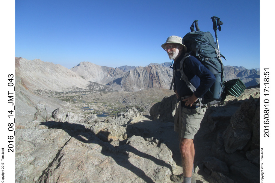
10 Aug, 2016 Pinchot Pass
6:41 Overnight low 49.1 8:40 ready to go. Rick led the way across the suspension bridge. I hadn't been on it since 2007. It seemed wobblier than I remembered. Seems like it was missing some slats. It was somewhat open on the climb to Pinchot Pass, so after a bit I switched to shorts. Switched back to pants at about 4:00. Rick and I were looking up ahead trying to guess which low point was the pass. I bet him a dinner and lost. 4:55 Pinchot Pass. About 12060 feet (3675m), +3315 foot (1010m) climb from my altimeter watch. Previously, I had bet Rick another dinner. He said 2500 at one time and 3500 another; so we called it a draw. 6:09 Campsite at first good creek coming down into lake Marjorie. I think this was the night Rick called his wife. She was delighted. The next night he called his daughter for her birthday. She thought it was 'magical'. 8:39 in bed, 48.4 degrees. Approx 11.3 K feet (3444m).
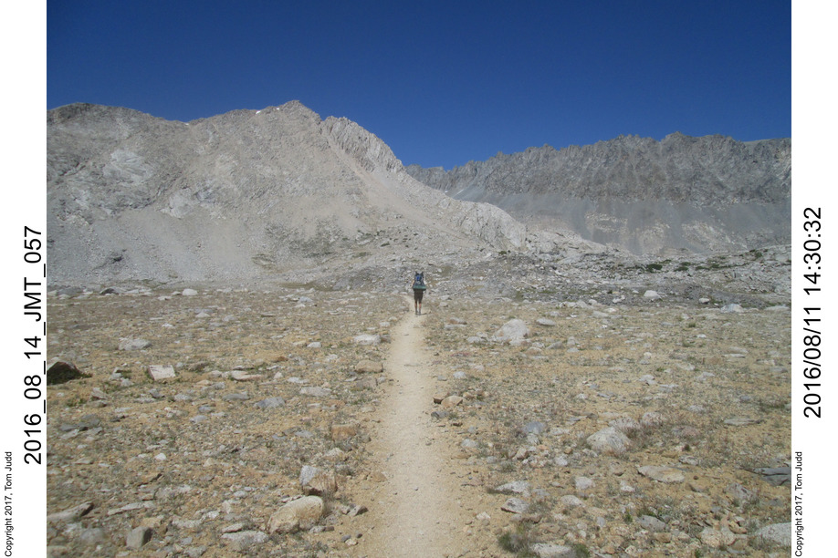
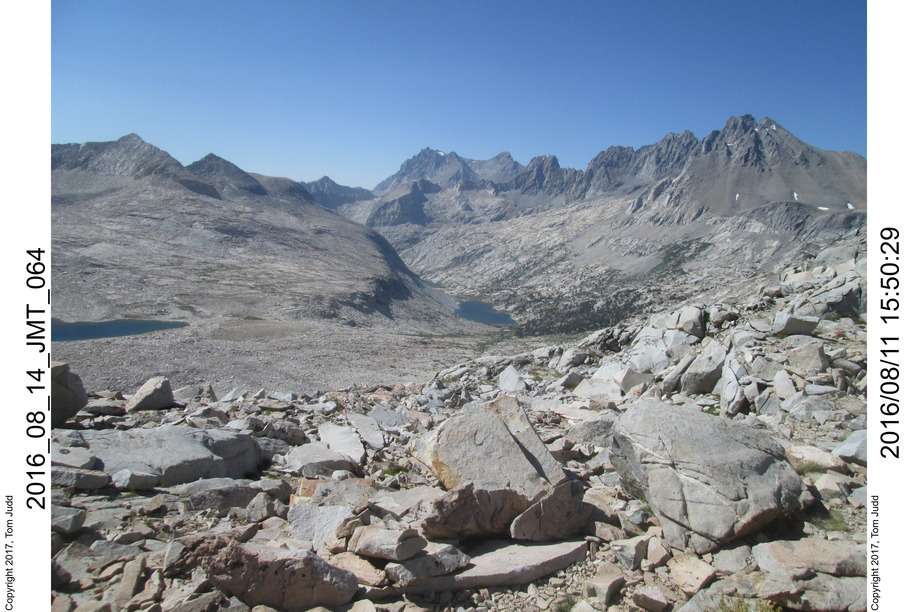
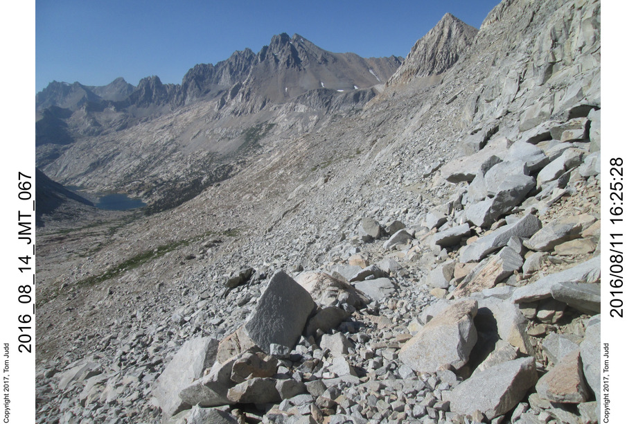
11 Aug, 2016 Mather Pass
Overnight low of 36.4 degrees F. 8:29 ready to go. The trip down to the Muro Blanco valley was harder than I remember. 10:40 snack in valley valley: 10080 feet 11:41 water 12:58 snack. Up 670 feet from valley 3:49 Mather pass, +1910 feet in about 5 hours. Rick had to stop for adjustments so I got to the top about 10 minutes before he did. For all the previous peaks, he led me. Mather pass just over 12000 feet 5:44 camp at +995, about 1000 feet below the pass. 7:54 50.6 degrees. My solid fuel water heater seems to work OK. This time it boiled the water. campsite about 11.1-11.2K feet
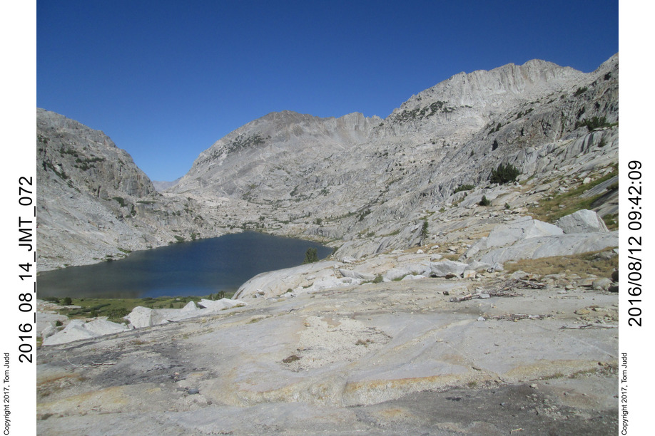
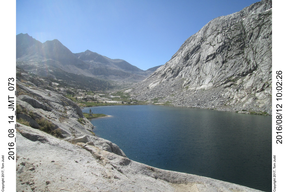
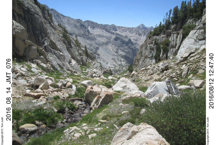
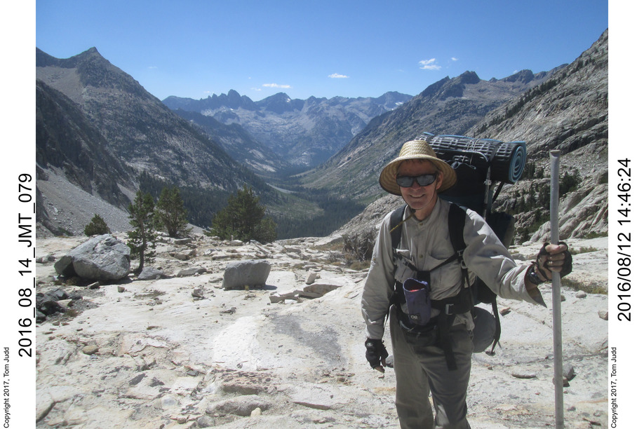
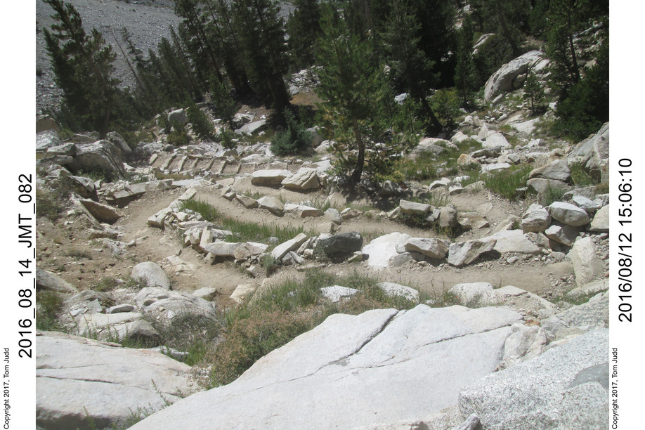
12 Aug, 2016 Norman Clyde peak peek
6:06 overnite low 25.7 (-3.5C). There were lotsa meteors. One at about 10PM streaked across the whole sky, transverse to the valley. It is the time of the Perseid Meteor shower. Rick likes to time his hikes accordingly.
8:44 Ready to hike 10:39 We got past the Palisades lakes and wanted to go up to Potluck pass. We ventured up the wrong canyon. It was narrow, you could see the Norman Clyde peak peeking over the rim at the end of the valley. The canyon was pretty: green and rocks and creek. Not too technical to climb. When I got as far as I thought I should go I did see a notch and wondered where it led. It actually goes into the correct valley but is about 380 feet higher and a bit narrower than the target pass. Looking at it now on the topo, it seems doable. But I didn't know it at the time; I had no topo. Rick felt that he spent his mental energy already and was in favor of just following the trail. Me too. 2:13 back at trail.
5:53 down 1830 feet (560m)from Palisade lakes, found a nice campsite. Another hiker Melissa passed by looking for friends. She must be an athlete. She already came over Bishop pass that day and expected to power up over Mather pass, perhaps hiking the last bit in the dark. Said she does 1000 feet an hour. 8:16 64.6 degrees (18C). Ready for bed; elevation approx 8733 feet (2660m).
1
2
3
4
5
6
7
8
9
10
11
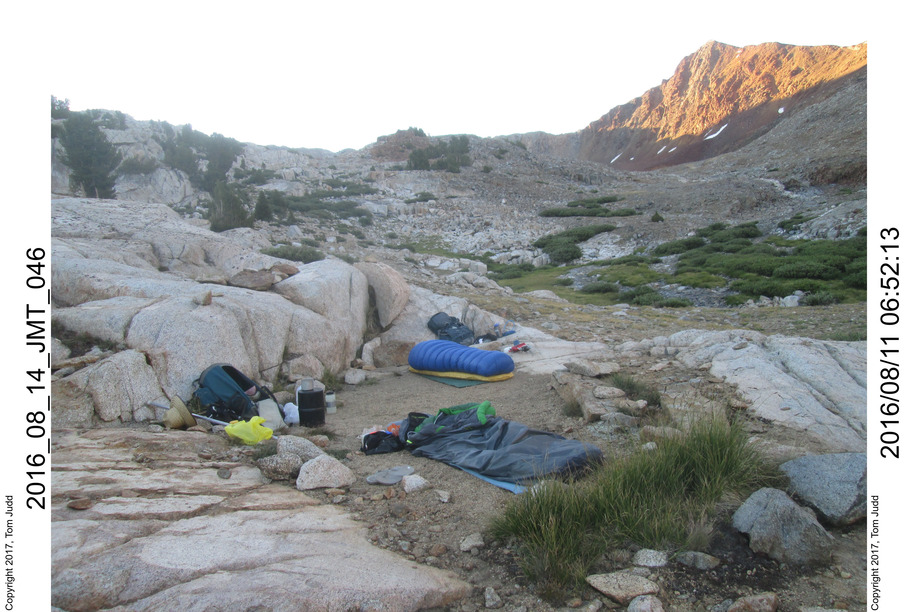
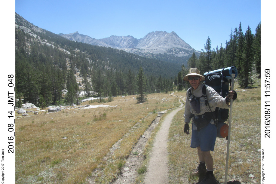
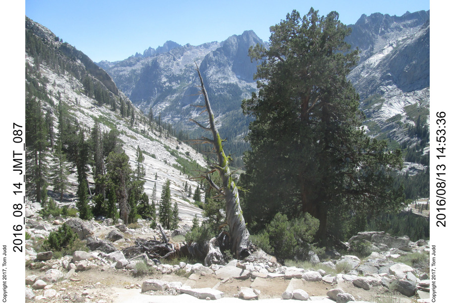
13 Aug, 2016 Dusy Basin
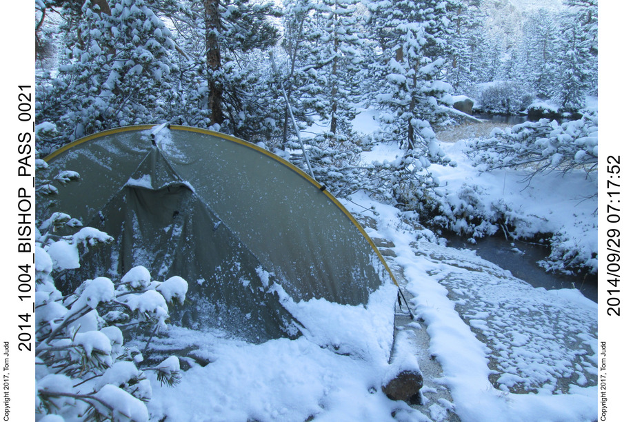
6:33 Overnight low of 39.8 degrees. Dozing since 3:30. - - 3 meteors. 8:47 ready to go. - - 10:05 Rest at broken bridge going into Simpson valley. Down 2385 feet from Palisade lakes. - - 11:12 Grouse meadows. Chatted for awhile with an experienced hiker. He had a mule tied up in his camp. He mentioned that there might be a log at the top of Red Spur. That got my interest. I had intended to climb it in 2011. Maybe next year. He had climbed up Black Kaweah. I was impressed. I had gone into Kaweah basin last year. - - 1:03 Got to the bridge at the start of the climb up to Dusy Basin. Replenished my water. - - 1:44 start up. - - 5:09 Rest at the bridge. - - 6:08 Stopped for night. Up +1895 feet (578m) from valley. Setting up camp near my old Christmas card campsite from 2014 (I had camped here in the snow: picturesque ) . There were some people across the creek, some noise, but tolerable, and quieted down after a bit. Heard'em leave in the morning. - - 7:48 In bed after dinner, still light, 3/4 moon
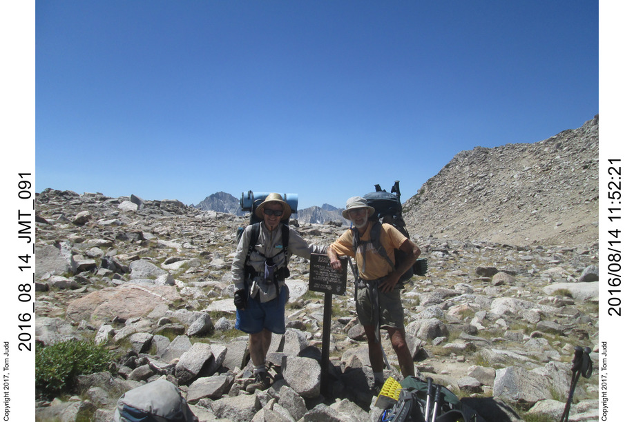
14 Aug, 2016 Bishop Pass, Home
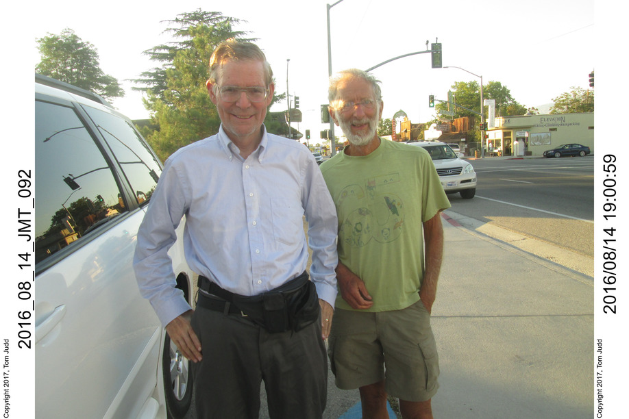
Overnight low of 38.7 degrees. My water cup for warming with my solid fuel got dirty, so Rick warmed my cup up for coffee. 8:31 ready to go. - - 11:46 leaving Bishop pass - - 3:38 Trail head. We took Ricks car down to Onion Valley to pick up my car. I got presentable. Put pants on so people wouldn't see my dirty legs. Headed into Lone Pine where I washed my face and hands at our favorite restaurant. - - 7:04 leaving Lone Pine. - - 11:57 Home.
1
2
3
4
©2016, 2017 Tom Judd.
www.juddzone.com
Carlsbad, CA
USA