2017 Sept Sierra Hike
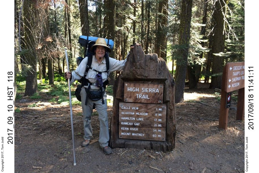
High Sierra Trail from Crescent Meadow to the Chagoopa Plateau and the Red Spur.
This is a work in progress
Intro
While on the JMT last year with Rick I met a fellow with a mule camped at Grouse Meadow. He mentioned that there was a log at the top of the Red Spur range, so I thought I would take a look.
Description
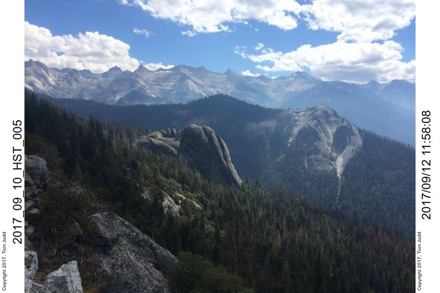
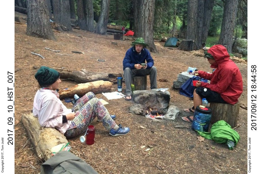
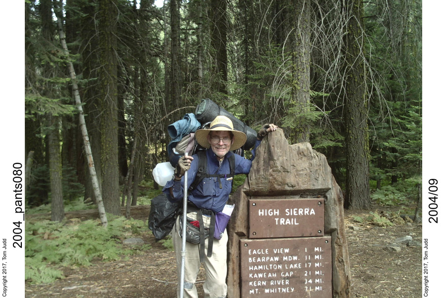
Daughter Marin, grandson Jon, and his friend Vincent decided to tag along for the first few days. They arrived at the Lodgepole campground campsite at dusk Sept 10 with windshield wipers going. Despite the drizzle, we had a couple of smores, heavy on the chocolate. I was up early and left from Crescent Meadow on the HST about 2 hours ahead of them. This year the gnats were quite bothersome all the way to Bearpaw Meadow, our first campsite.
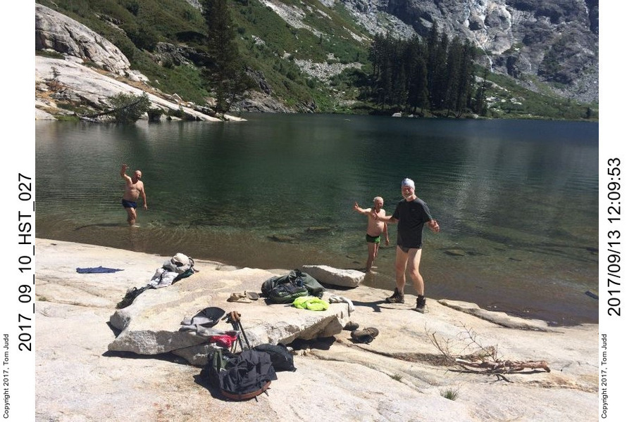
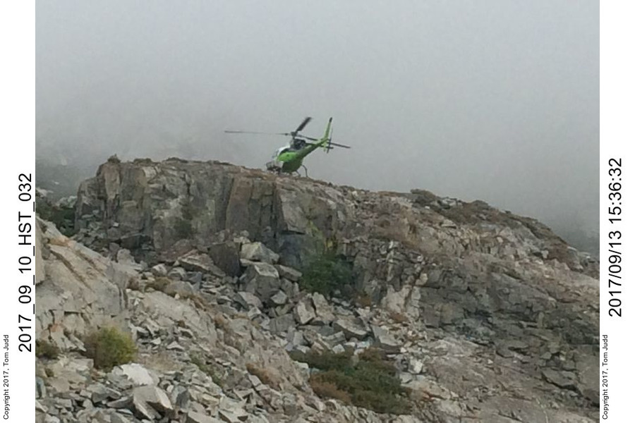
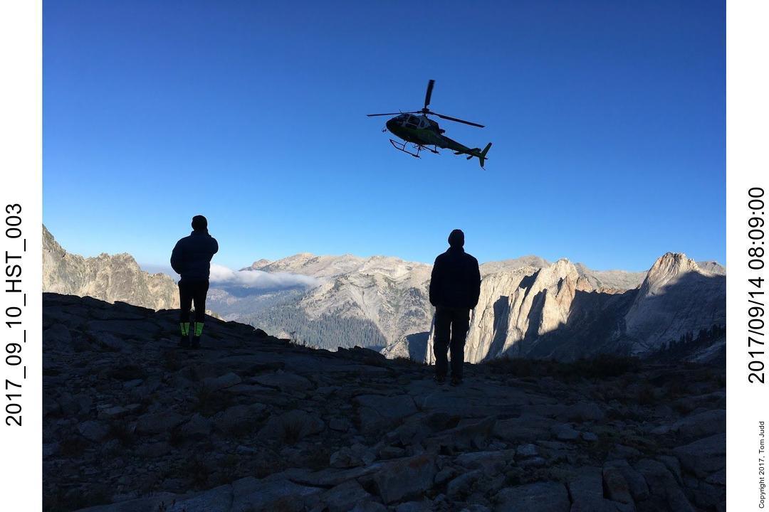
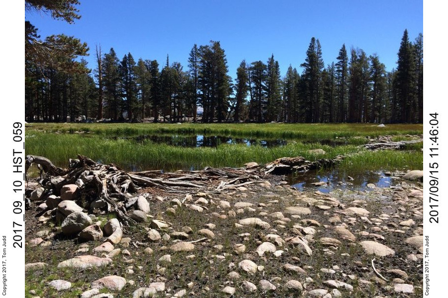
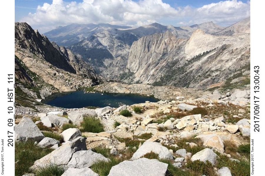
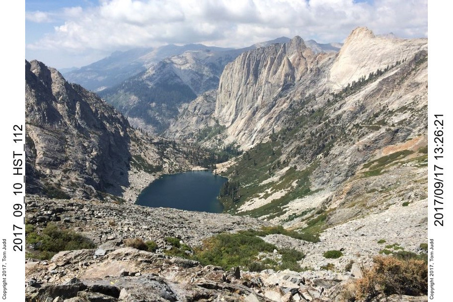
Bearpaw is the pits. Water out of the single faucet is tinged yellow, all the sites are on a steep slope, and you have to contend with noisy neighbors. You have to walk down, down, down to get to the campsites; which means you have to walk up, up, up to get out of the pit. On the good side: there is a toilet. I again left early the next morning. It was a long climb up to Lower Precipice Lake, our second campsite. Just as I was getting there a helicopter zoomed up to dropped off a medic. A hiker was suffering from heart pains. The fog rolled in about that time so they had to wait till morning to evacuate him. Marin and boys coming up later in the fog missed the lake on first pass and had to come back a bit. Next morning, Wed. Sept 13, we got videos of the rescue helicopter with the stunning landscape as a backdrop. I was on all no-cook food. The delicious hot cup of coffee I had with Marin was the last warm ingestable I had for the rest of the trip.
1/8
2/8
3/8
4/8
5/8
6/8
7/8
8/8
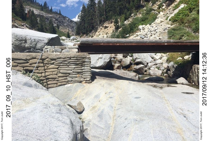
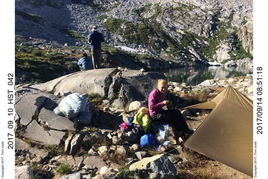
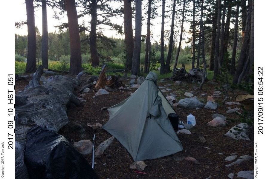
At this point I left the youngsters and headed for the Chagoopa plateau on my own. Past the marvelous Precipice Lake, over Kaweah Gap and down 'Big' Arroyo. The river crossing was OK, but the cold made my feet ache. I climbed up along the HST to about a mile from where I would start the off-trail hike. I was tired, so I made camp 3 near a lovely meadow and a clear-running creek.
Negotiating Chagoopa Plateau
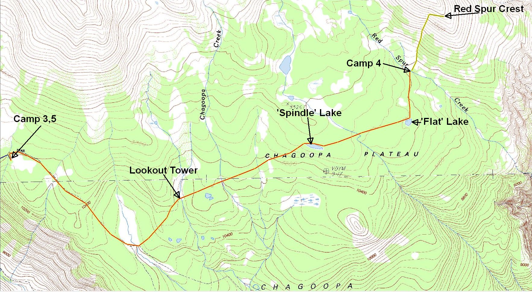
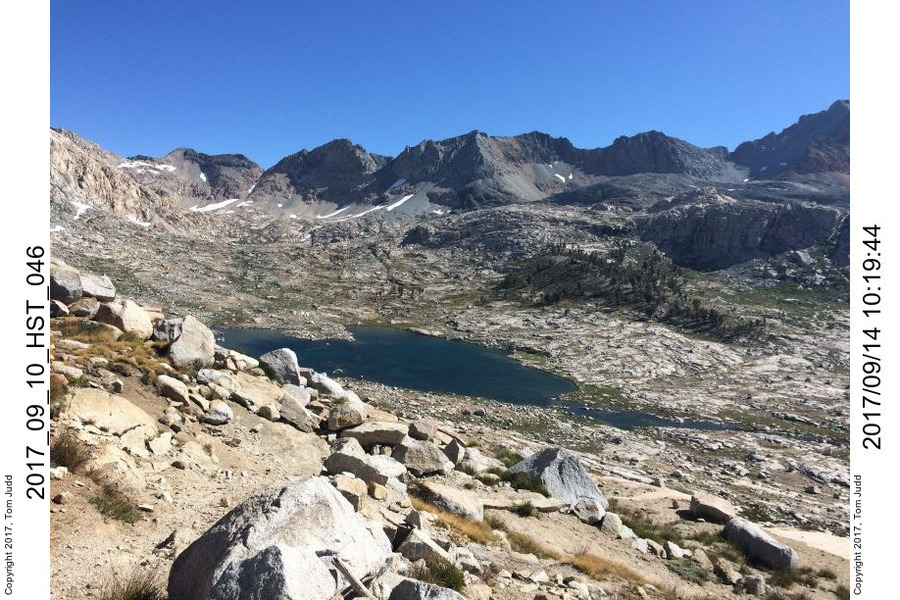
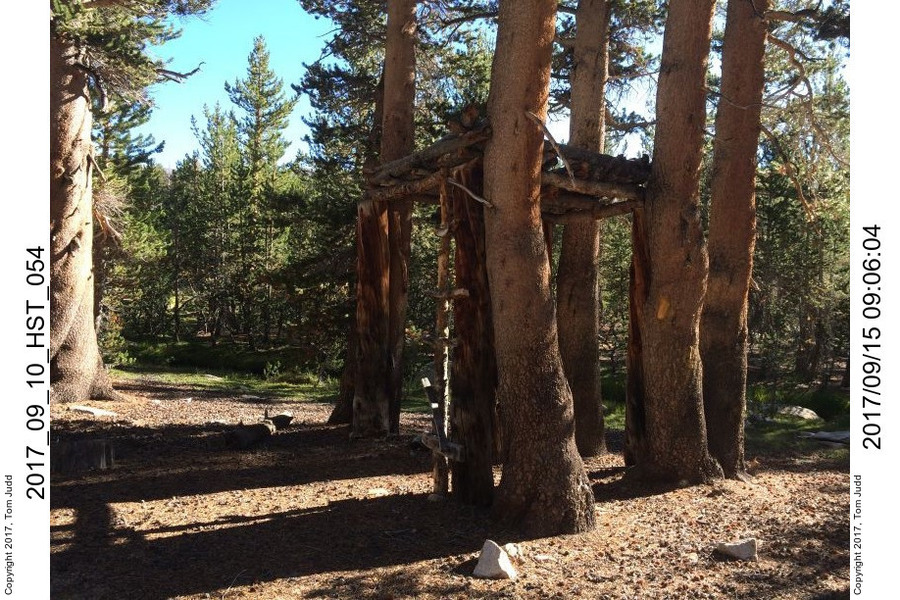
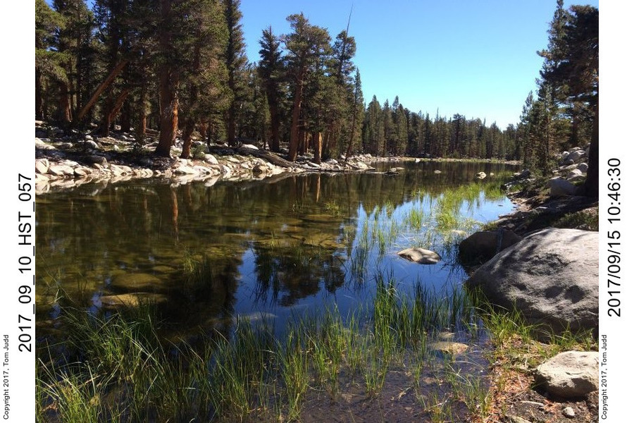
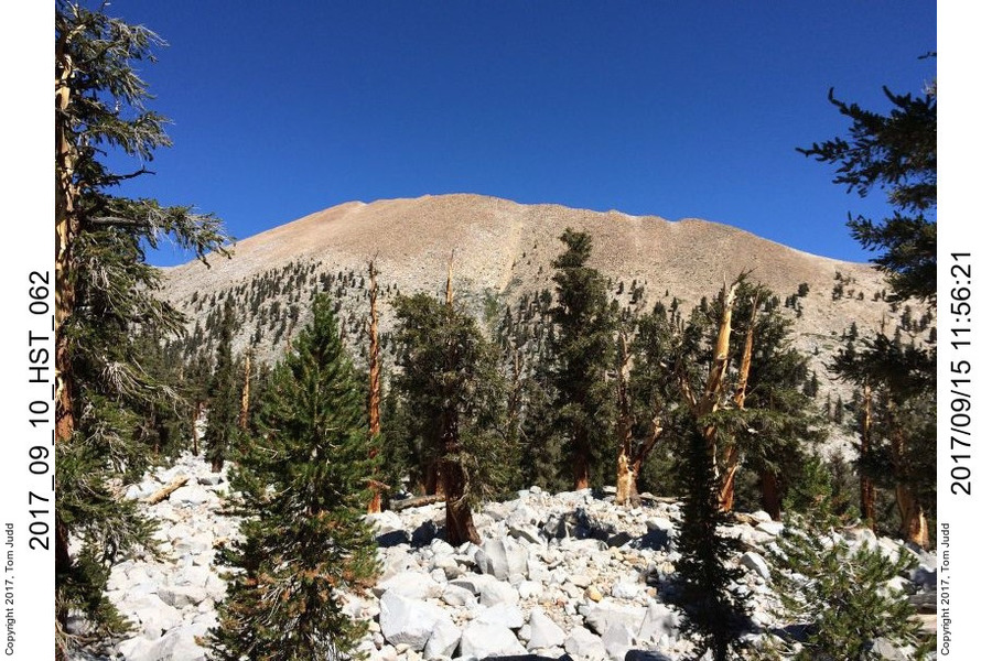
The Chagoopa plateau can be difficult. It seems like one big rock pile at times. I enter just after the HST split down to Moraine Lake. After crossing the creek I head into the trees on a 45 degree bearing. After about half a mile (800m) you come to 'Lookout' creek. There are lots of level sandy campsites along the creek. On the northern end, there is a lookout tower just before a meadow. From here go at 70 degrees for just over a mile to 'Spindle' lake. Some talus on the way, some uphill, but not terrible. Then go about a mile at 80 degrees to 'Flat' lake. This lake is shallow, prone to drying up, can have mud flats and a good crop of grass in the lakebed. This section of the hike is easiest and prettiest: lots of trees, nearly level, and a pleasant creek bisects it about half way. The next part is the worst: lots of boulders to climb over. But it is only a third of a mile directly north to Red Spur Creek. I arrived early at the creek, camp 4, so spent the rest of the day scouting and taking it easy. There are three or so small green meadows here along the creek. I stayed between two of them to avoid the pretty but swampy grass.
I was beginning to get antsy about the time. I wanted to get back in time to study the California driving handbook. Turning 70. My license expires next month, and I had an appointment to renew it next week. In these on-trail planning sessions I usually assign a token (penny, pebble) to each night on the trail, and place them on a map at a possible campsite. It looked like I could climb Red Spur the next day AND exit the Chagoopa plateau in the afternoon. I would need only two nights on the trail after the climb. So that's what I did.
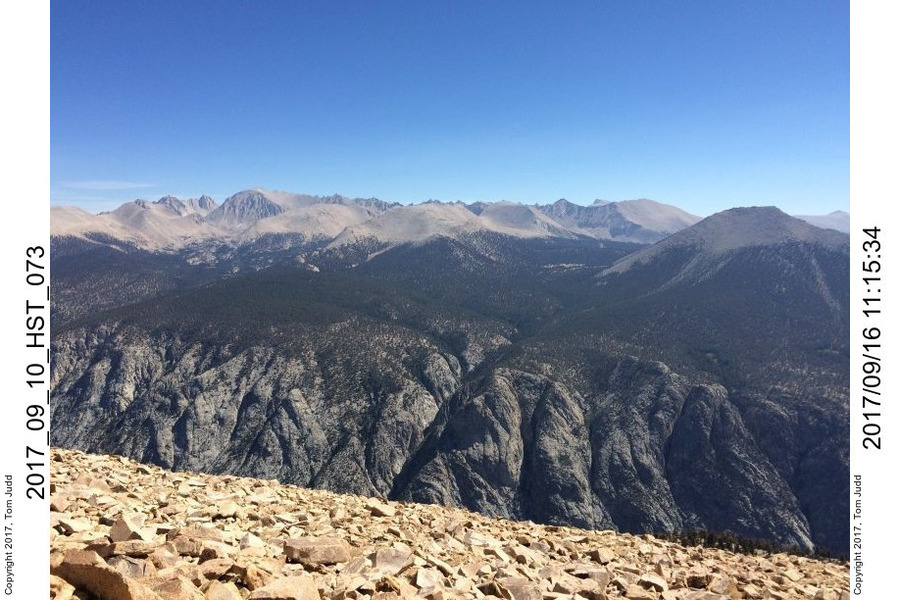
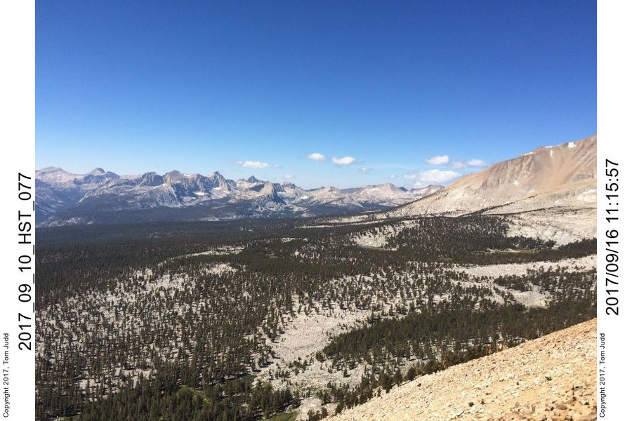
I started the climb about 7:30 Saturday Sept 16. I went up the obvious central gully. It was sandy in spots, so I would sometimes clamber over the rocky sides. I got up to the crest at about 11:00. The views were spectacular. The Red Spur drops precipitously on the eastern side to about 7400 feet only to rise up again to over 14000 feet at Mt. Whitney less than 9 miles away. With the aid of a small pair of binoculars I could see the stone hut on top of that peak. I could see the Kaweahs peeking over Kaweah pass to the north west, and sweep all the way around to Diamond mesa near Mt. Tyndal to the north east. I made a small rock shelter for my binoculars and left them there for the next hiker (small knoll at 36.51885 N, 118.42472 W). After I had my fill of the grandeur I hurried back down. The only footprints I saw were those I had made on the way up. I packed up my gear and headed back over the Chagoopa plateau. It took about 4 hours to get to camp 5, same as camp 3.
1/7
2/7
3/7
4/7
5/7
6/7
7/7
At 6:00 the next day I awoke to a coyote howling 100-200 meters away. I find that scary when hiking alone. I started hiking about 7:45 and made it over Kaweah Gap and all the way down to Bearpaw. Then on Monday I hiked out. I got to Apple Annie's in the early afternoon for my California Omelette. Took I5 through the heart of LA rush hour. Home by 9PM to a shower and clean sheets.
1/5
2/5
3/5
4/5
5/5
©2016, 2017 Tom Judd.
www.juddzone.com
Carlsbad, CA
USA