2021 Sierra Hikes
Taboose Pass to Muro Blanco
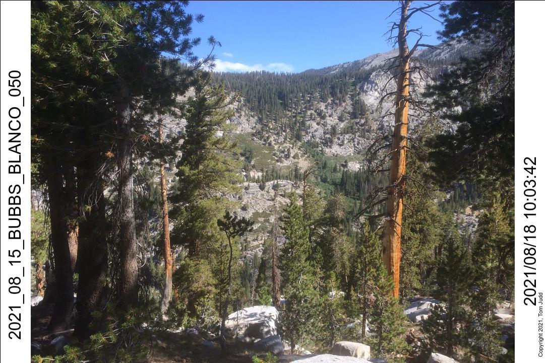
Bubbs Creek West Transit over Gardiner Pass and Arrow Pass
Wilderness permits were slightly easier to get this year. So, I could have hiked all summer if I had the time. I tried to make time, but things just kept coming up. Well, actually, there are other things in life besides hiking. For one, my grandson got married. This was my first 'grand' marriage; and my daughter did it up well. AND with all that going, she still found time to accompany me on my first trip over Taboose Pass. My second one was much longer. It was over 50 miles; and included a new shortcut that I will get to.
Two other impedements to hiking in the sierras in 2021 were forest fires and weather. I planned a hike in late September and even got my permit to stay overnight in the Lodgepole campground. But, the permit was canceled and the forest closed due to serious fires in the Sequoia National Park. While flames encircled the Giant Forest the magnificent trees themselves were spared. The John Muir Trail was open on the eastern side of the park in early October; but a snow storm discouraged me from attempting a hike at that time. Wait till next year.
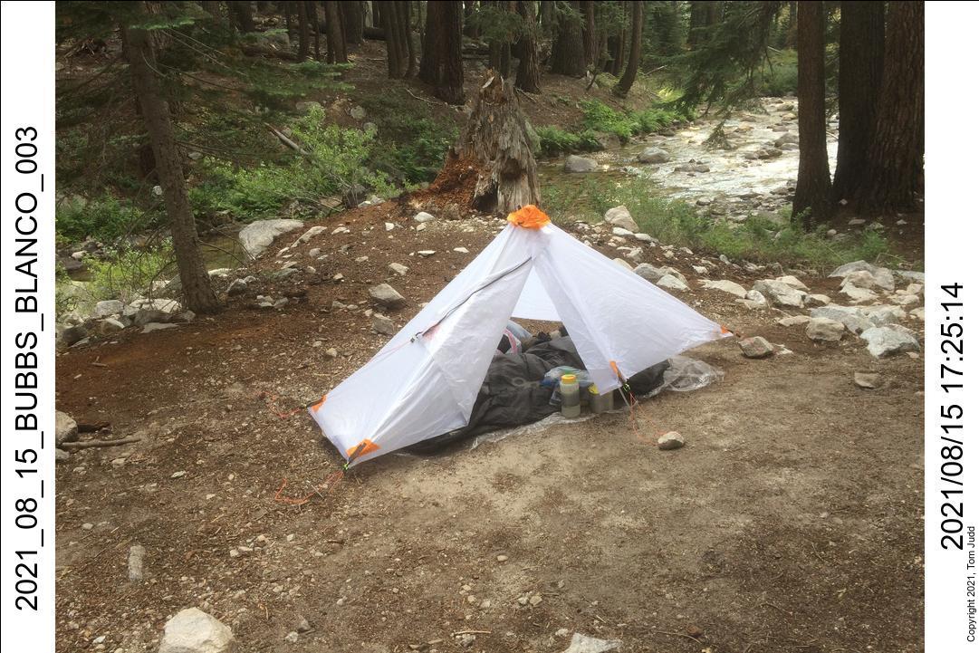
New this year was my DIY SilNylon tent. I wrote a flexible tent-design software package. One output is a 2D pattern for cutting out tent material. My Taboose trip was the first with it. At that time it had no zipper. The flaps in front were held down with stones. By my second trip I had installed the zipper. Since then I have added netting. It is now more or less complete at 18 ounces total. Not bad, huh?
Also new this year was my REI Flash 55 backpack. This is my first internal frame backpack. Full up it was about 40 pounds at the start of the hike. It was very comfortable and functional. It had a lot of bells and whistles which I gradually discovered: a real whistle designed into one of the straps!
Bears were a problem this year. Both hikes had activities interrupted by bears that were unintimidated by shouts and noise. I did a lot of solo back country hiking, so, I was particularly careful to secure my food and avoid areas with bear scat. I survived to tell my story, and here it is.
Two Sierra Hikes in 2021
July 2021 Taboose Pass
August 2021 Gardiner Pass - Arrow Pass - Muro Blanco
Taboose Pass, Muro Blanco with Marin
7,8-July 2021
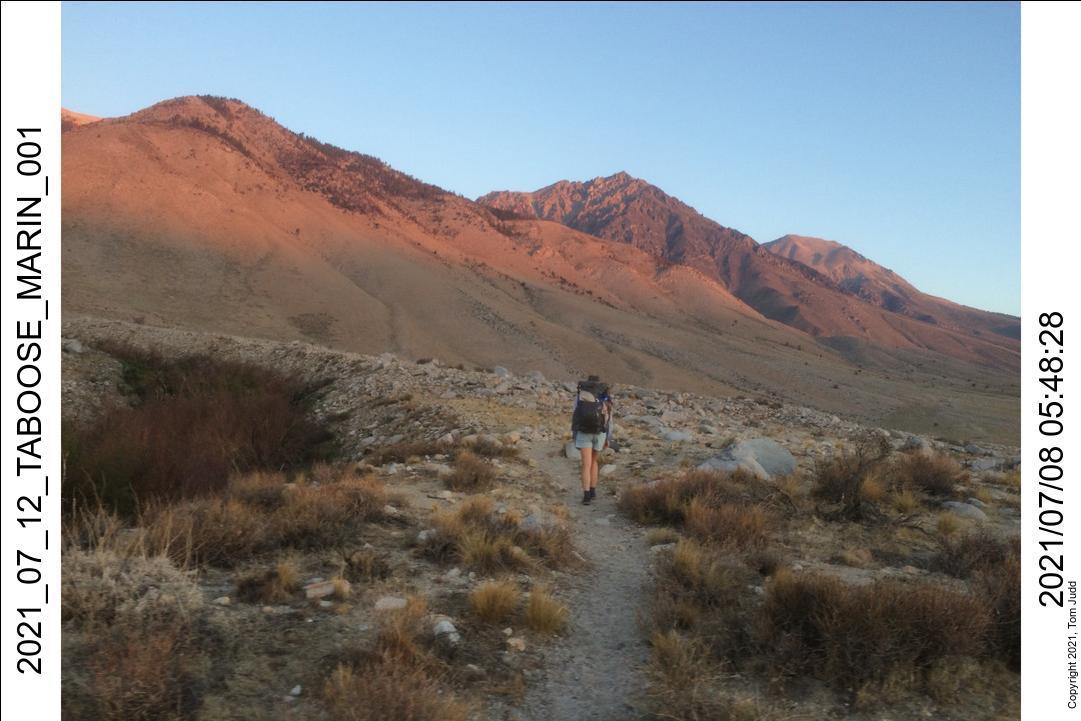
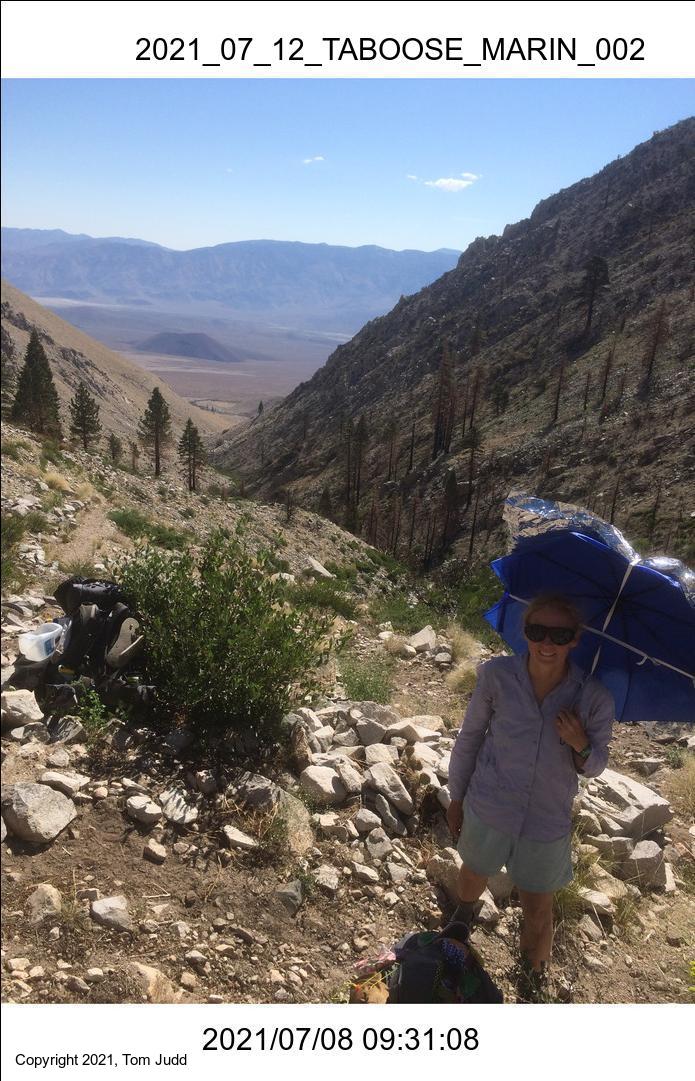
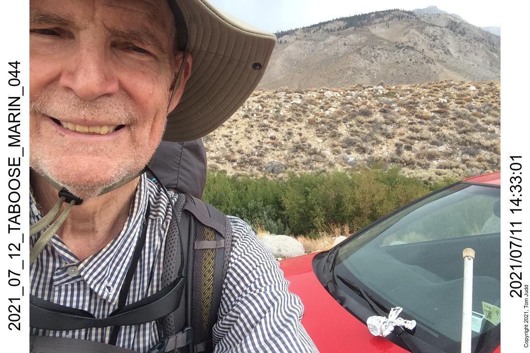
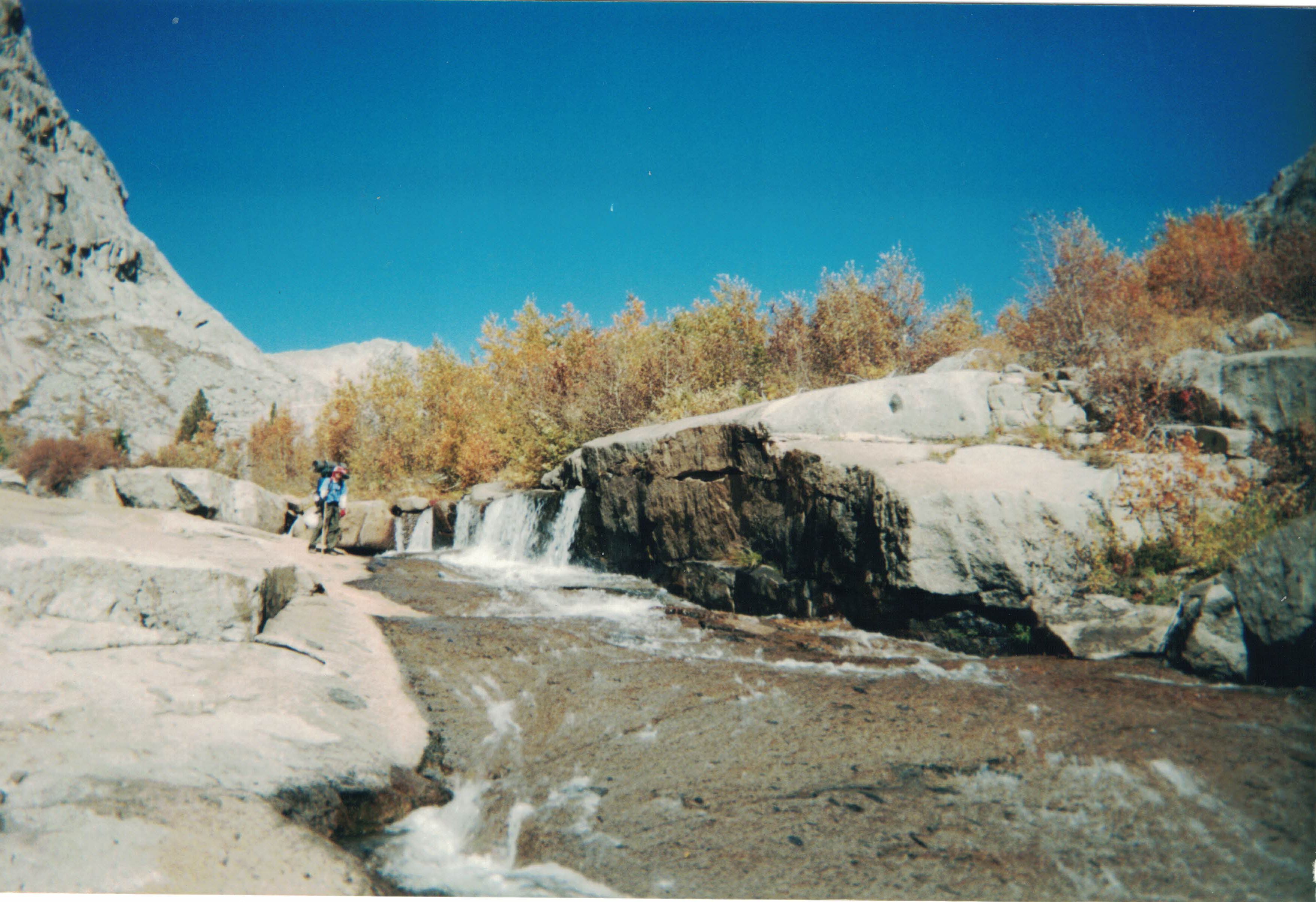
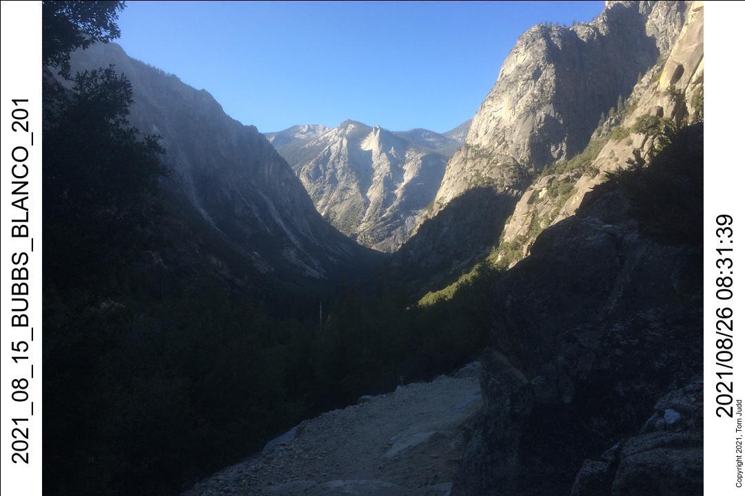
Drove up from San Diego along a hot highway 395. We wanted to get an early start up the steep trail to avoid the heat. So we got a campsite along Taboose creek for the night. Up at 4AM the first day of the hike. It was completely dark when we started the drive up to the trailhead. It is a thousand foot (300m) climb over about three miles (5km) to get there. Marin was following me; All I could see of her were her headlights bouncing around through clouds of dust. I had remembered it as being a very bumpy road. It was bumpier than that! I could not see the destination nor the road any further than my headlights. I fortunately took all the right turns at the forks. It was just beginning to get light as we parked and packed. That drive actually was some fun.. once it was over.
Marin had brought along an umbrella to which she attached a covering of aluminum foil. I had seen other hikers use such devices. It seemed very appropriate for the hike up today because of the heat. And tomorrow she would use it for rain! Para sol y paragua.
It is almost a 4000 foot climb from the trailhead to our first campsite at the second stream crossing. We got there early, about 2PM, but I was tired enough that I had no inclination to go any further.
9-July 2021
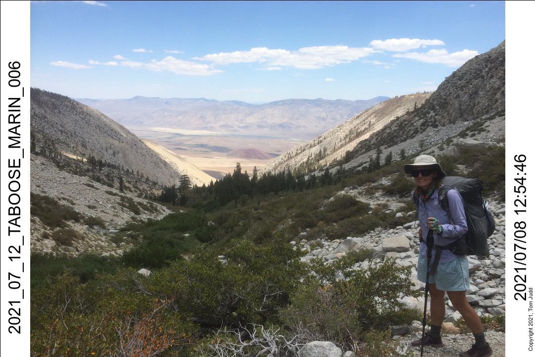
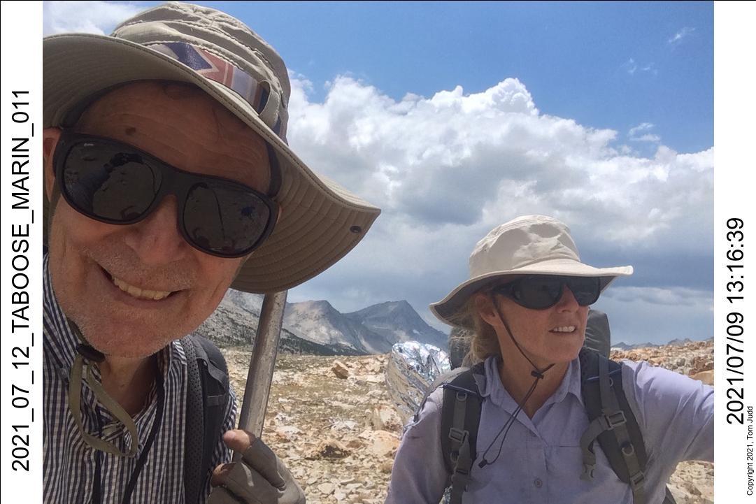
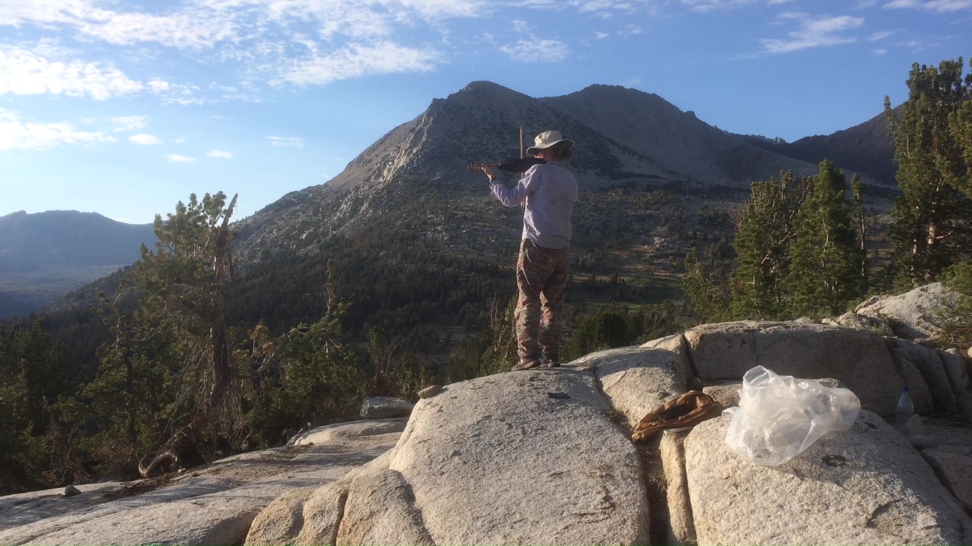
Hiked up the steep switchbacks to the pass the next day. Marin did a triathilon this summer so was in excellent shape. She hiked way ahead of me. Then she would stop for a while; break out her violin, and played it patiently while I struggled up to her. That's not something you see every day.
We got to the pass a little after 1 PM. The trail splits a ways down the hill. I had always taken the left fork. This time I wanted to go right. It is not used very much, so it took a while to find it. Even with a GPS waypoint it took a bit of looking.
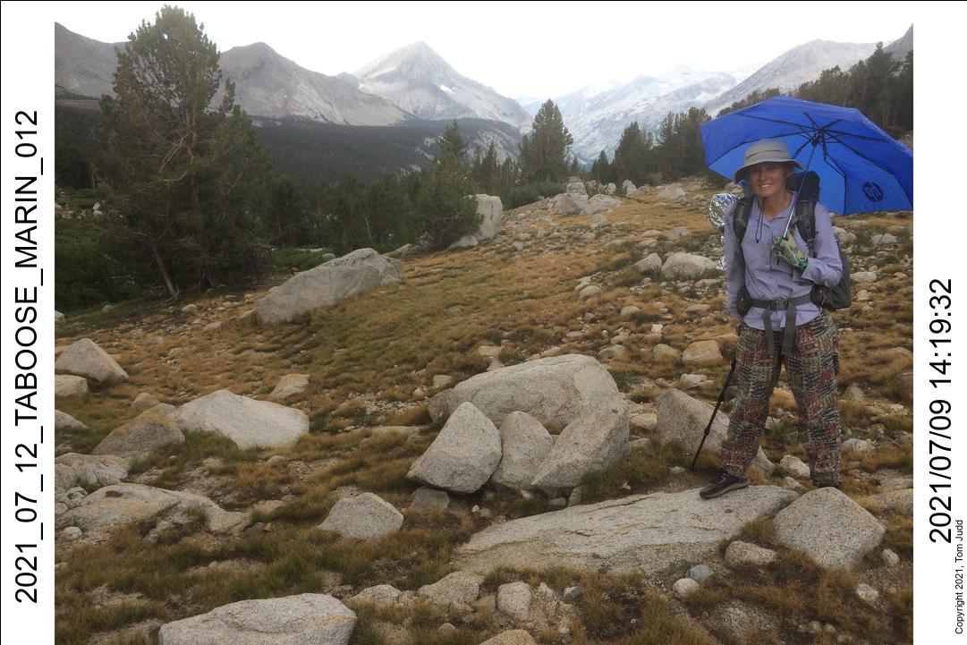
It rained a bit on the way down. Fortunately we had stopped to get out our raingear before it started sprinkling. I was not yet skilled at getting stuff out of my new backpack so I suggested we stop and practice. Ten minutes. Just in time. It started sprinkling.
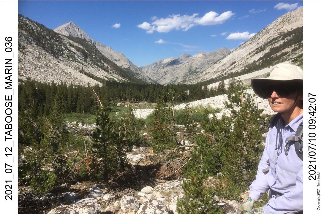
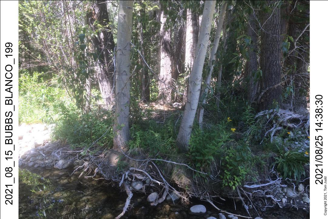
Once we got to the John Muir Trail we headed a short distance down to the creek at the bottom of the valley. This is a frequent camping spot for hikers. In 2013 I had found a camping area with firepits about 200 paces (300 meters) downhill from the trail. We couldn't find the site again, but there were level areas for some tents; and we were not making any fire anyway.
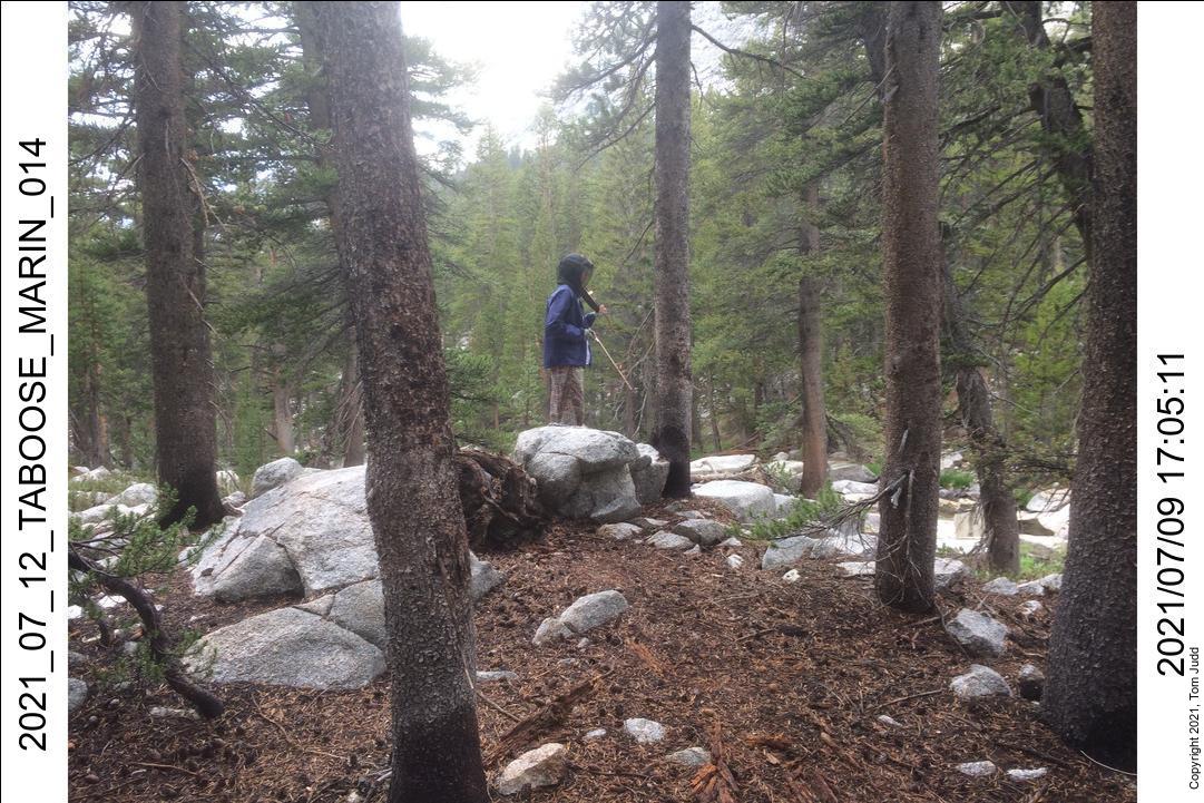
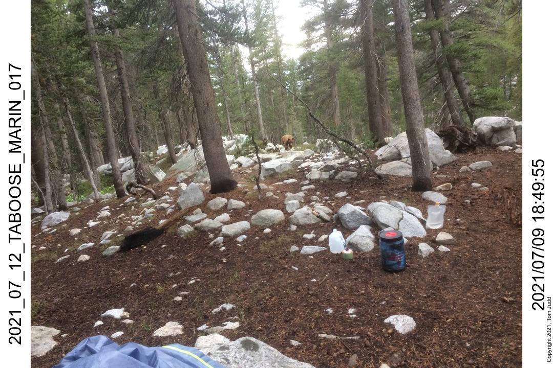
Marin did some more violin before dinner. I had finished mine but she was still munching when she gave out a surprised yell "BEAR!" I followed her wide-eyed stare down the hill and caught sight of the light brown bruin strolling up the hill through the trees. "You make noise and I'll get the camera!"
This was an unusual bear encounter. Usually, when I have come across a bear, they run away. This one seemed unfased by any shouting or banging we did. It kept coming up, sauntering to the edge of our campsite before turning to go around. I think it was headed up to the campsites at the trail. At one point, Marin threw a stone at it. Missed. But instead of ducking, the bear went after it, sniffing in the brush for it. I had seen this behavior as a kid at the San Diego zoo. At feeding time they were sailing slices of bread to a bear. "Oh!" I thought, "Someone has been feeding this bear!" Damn JMT'ers! They have to put down bears that bother humans for food. A fed bear is a dead bear.
10,11-July 2021
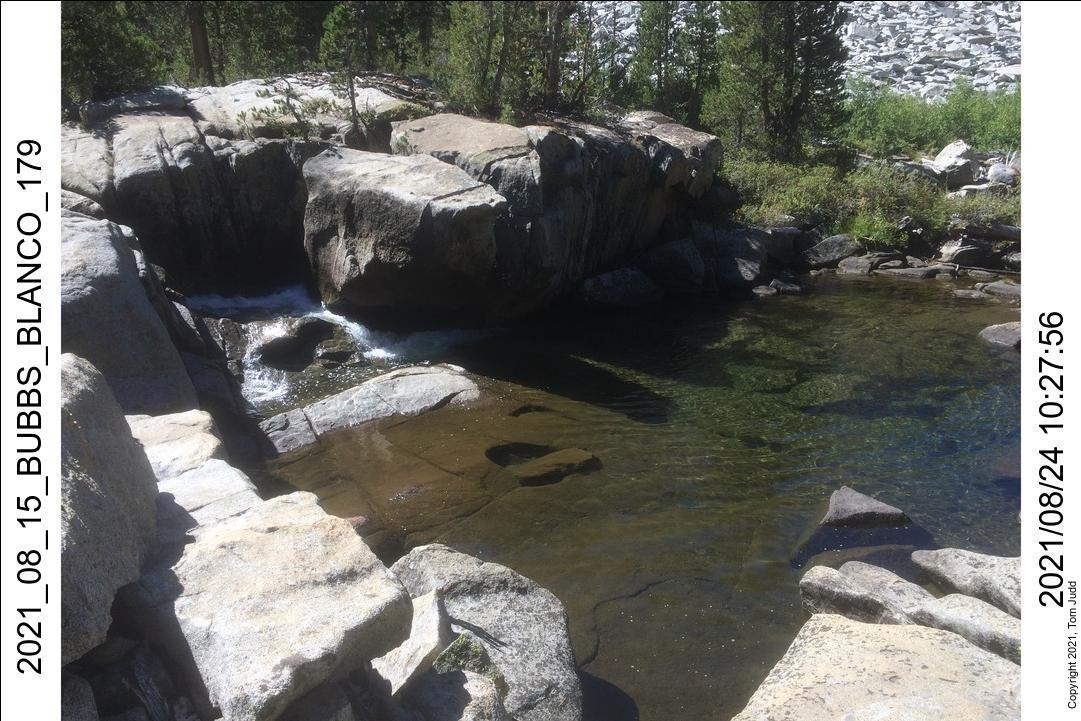
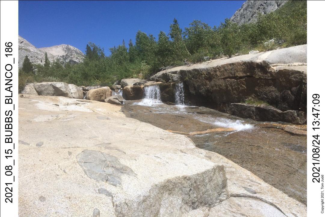
I wanted to scout out a backtrail way up to Bench Lake from the campsite at the foot of Cartridge Pass. I had gone up in a big loop by way of the JMT the previous year. I thought there would be a quicker way straight up the wall. We hiked down Muro Blanco to the campsite and looked up at the intimidating climb. We decided not to pursue it; it looked too difficult.
We made our way back up to the JMT, then on up towards Taboose Pass. We settled in campsites at the creek crossing; about 11K feet (3360m). Marin played her violin again at dusk. She bolted out quickly in the morning. She had to get back to work the next day. I followed her more leisurely. I wore shorts in the warm weather so the thorn bushes were a bother. I tried stomping on them instead of scraping my legs. That worked for awhile until a thorn poked all the way through my boot and into my foot. Yea, it hurt! But nothing serious. At the car at 2:30; 395 at 3:30. It was light most of the five-hour drive home.
Gardiner Pass - Arrow Pass - Muro Blanco
14-26 August 2021
This was a fabulous hike. I designed a loop trail that joined portions of backcountry trails that I had done before. The trail starts and ends at the Cedar Grove Road's End Ranger station. In 2019 I started the course clockwise up Copper Creek only to end prematurely the second day with a broken ankle. In 2020 I tried again but bailed out half-way at Paradise Valley. This year (2021) I tried the counter-clockwise route ('Map Tab' button). I took the Muro Blanco shortcut instead of finishing via Cartridge Pass and Copper Creek. Nevertheless, it was wildly successful.
14-16 August 2021
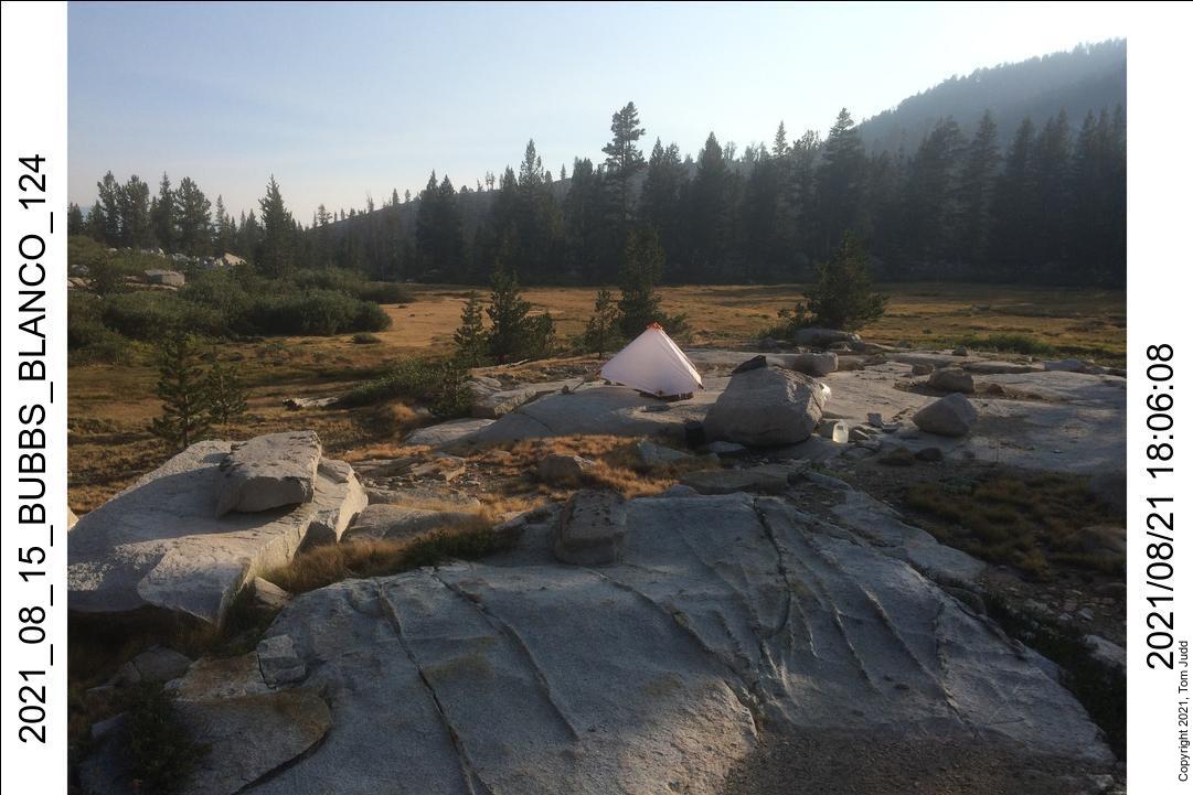
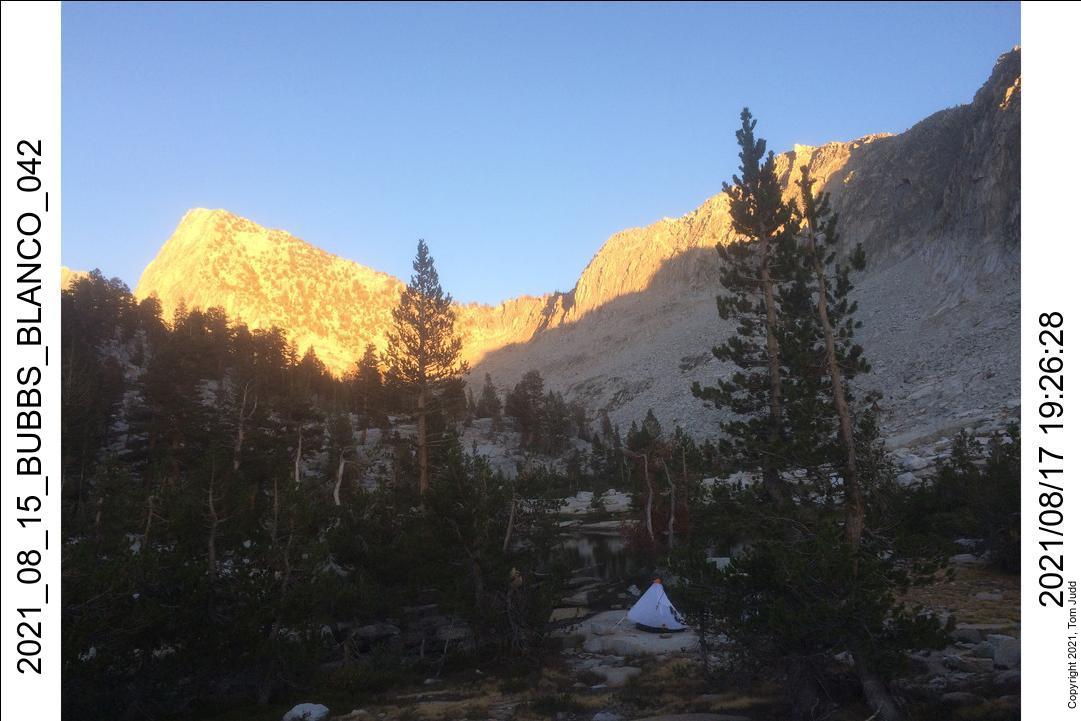
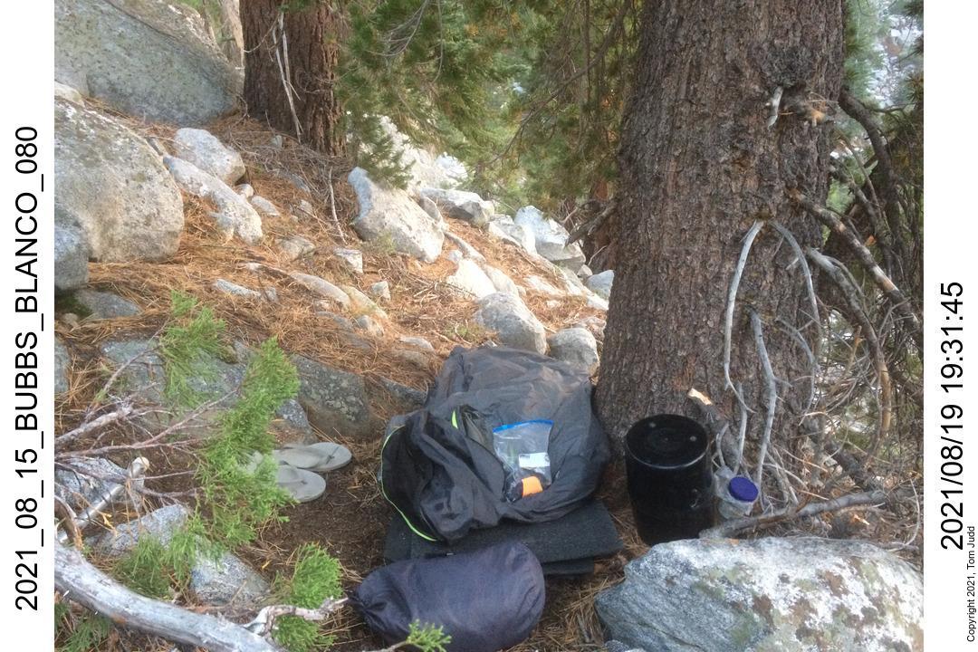
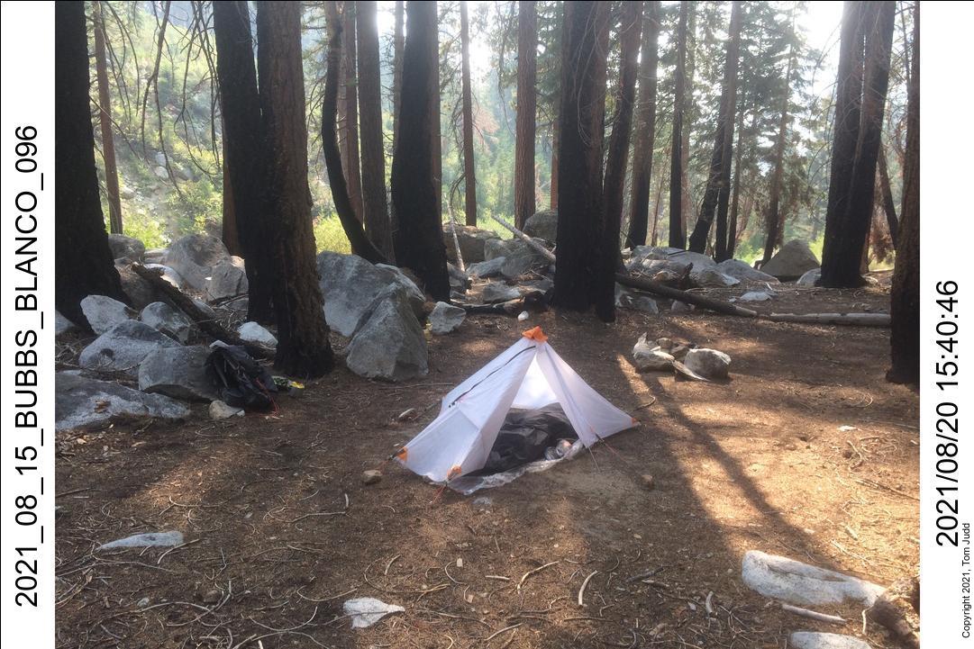
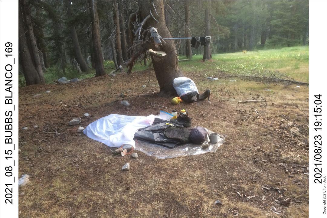
Drove up a day early and got a campsite so I could start out early. Ranger Clark at the Kiosk at Road's End stopped in the middle of my permit process to go chase away a bear that had wandered down. I started out early the next day. The weather had been hot, so I added an extra bottle so I was carrying 2.5 liters of water. Took the pack up to almost 40 pounds (18kg). I also traded my heavy hiking shirt for a lighter, cooler one. I met Ranger Mary Clark (wife of the permit Ranger) on the initial switchbacks. She asked to see my permit. I met a hiker coming downhill who was hurting, looked exhausted. He was out of food so I offered him my sausage sandwich. He declined but with a genuine thanks. I encouraged him noting that it was downhill the rest of the way. Made it to a campsite about a half mile below Junctiion Meadow. I was tired. Put up my homemade white tent for the first time with a zipper. It looked smart. Nearby campers warned of a bear that was snooping around the bear box.
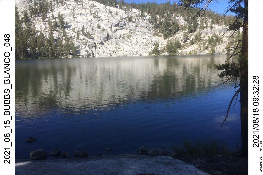
Next day I awoke refreshed. Ten hours sleep! Started on the trail about 7:30. Met a hiker who gave a harrowing tale of a bear encounter. He was hiking alone and the bear refused to be intimidated. Sounded like the one Marin and I had met last month. As a last resort he pressed his emergency button on his satellite communicator. Eventually, a second hiker arrived and they were able to get away. Made my way to Charlotte lake; camped near the end of the lake.
17 August 2021
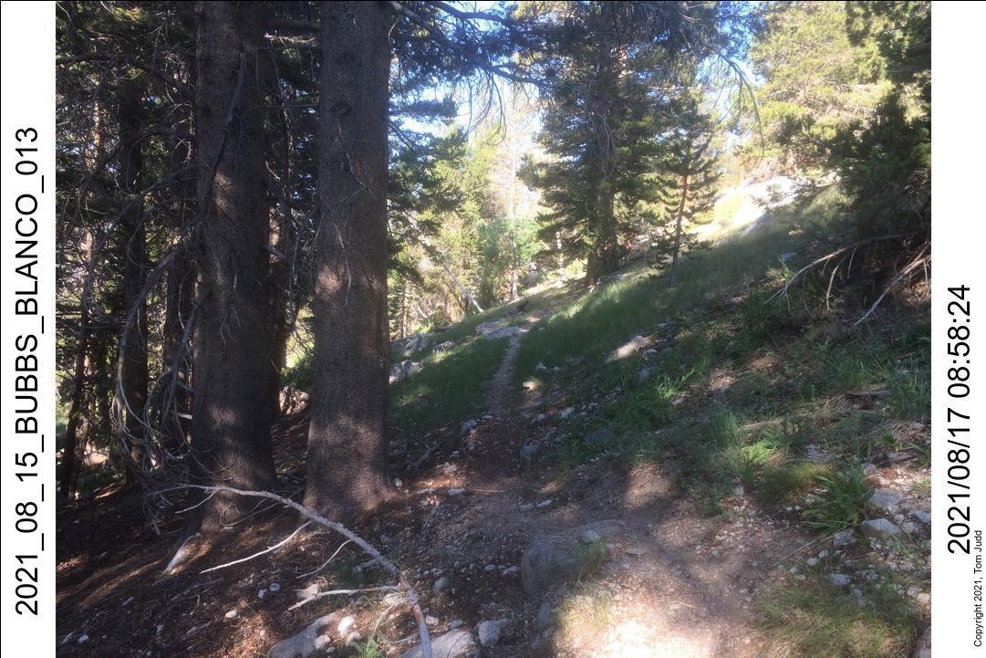
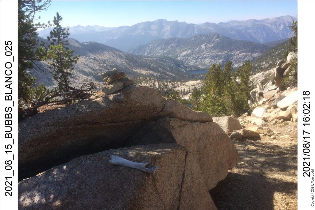
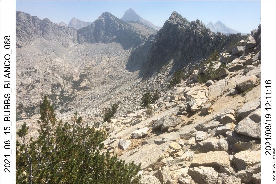
From here the trail gets less used. The trail gets iffy and then takes a deep dive just before the creek that comes out of the valley before Gardiner Pass. I went down about 200 feet too far and had to climb back up beside the creek to get to the lip of the valley. The trail goes away once one starts up Gardiner Pass. I passed the remains of an avalanche going up to the pass. You can see the bare patch of mountain ahead that had been scraped of trees. The climb up to the pass was harder than I remembered. Slippery and sandy in parts. I headed towards the center of the pass; but the pass is all the way to the right.
18 August 2021
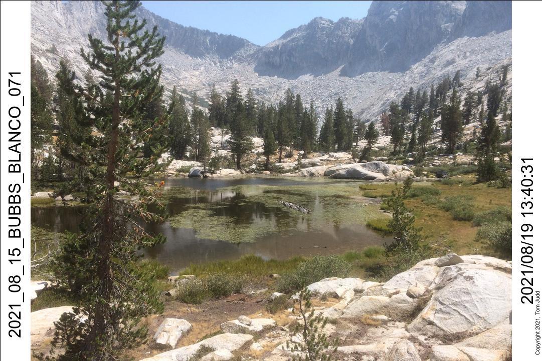
This was a relatively easy day. I hiked down the valley to Gardiner Creek then up the steep slope to a lush valley on the other side. Going down I passed several smaller lakes. In their receeding shorelines you could see many animal footprints including bear. At the end of the valley there is a large lake with a good campsite and fire pit just before the plunge down to Gardiner Creek. Dale and I camped here in 2012.
Just past the lake there is a good view across the canyon to the other side. Dale and I ran into a lot of brush going up the other side, so I was checking out my tentative path when I spied another hiker coming down the opposite side! I shouted, but no response. The figure just kept walking down. I thought I would meet him in the valley, but no, I never saw him again. He gave me an idea though. He seemed to be having an easy enough time, so I thought I would direct my hike up the hill where I saw him.
There is a steep trail down to the creek, but it is easy to lose. I was able to follow it until it vanished in the brush lining the creek. I stopped for a long rest in a pleasant creekside spot. Sterilized some water, had a snack. Afterwards, I made it up the steep slope to where I had spied the hiker and had a short easy hike that ended in a tangle of brush. I had to fight my way back out. I proceeded up the far slope. It was quite steep and sandy. Not a pleasant climb. But at the end was a very pretty meadow. It was still quite early, but I was a bit worried that I would get caught going down a steep rocky slope in the dark if I were to continue. So, I stopped for the day.
In my spare time I scouted around the valley. I found some broken glass. It was thick-walled. I couldn't imagine a current-day hiker lugging that weight around. I guessed that it was quite old. People had camped here before. It is a lovely place, but hard to get to. I wonder who and when.
19-20 August 2021
The short hiking day yesterday and another short one tomorrow left me somewhat behind schedule. I was beginning to wonder if I could complete the planned loop. Today I hiked straight up to the pass Dale and I had discovered. It led to a drainage that emptied on to Woods Creek. The pass is not obvious from below, so I had to take a couple of GPS readings on the way up. I was drifting to the left. About a hundred feet from the top I saw a crumpled aluminized helium balloon wedged in the brush.
It is scary-steep looking down from the pass. But, I had done it before; first on all fours, then on three, then standing up. I got down to the small lake. It was about a 5 and a half hour hike from my last campsite. So, I could probably have gotten here while it was still light if I had tried it yesterday. I headed down the valley. I flushed a Sierra Grouse. It took flight and I saw it glide down the valley for a quarter of a mile until it landed in a tree. There was no water in the creek for quite a long stretch. I stopped at the first good trickle to replenish my water.
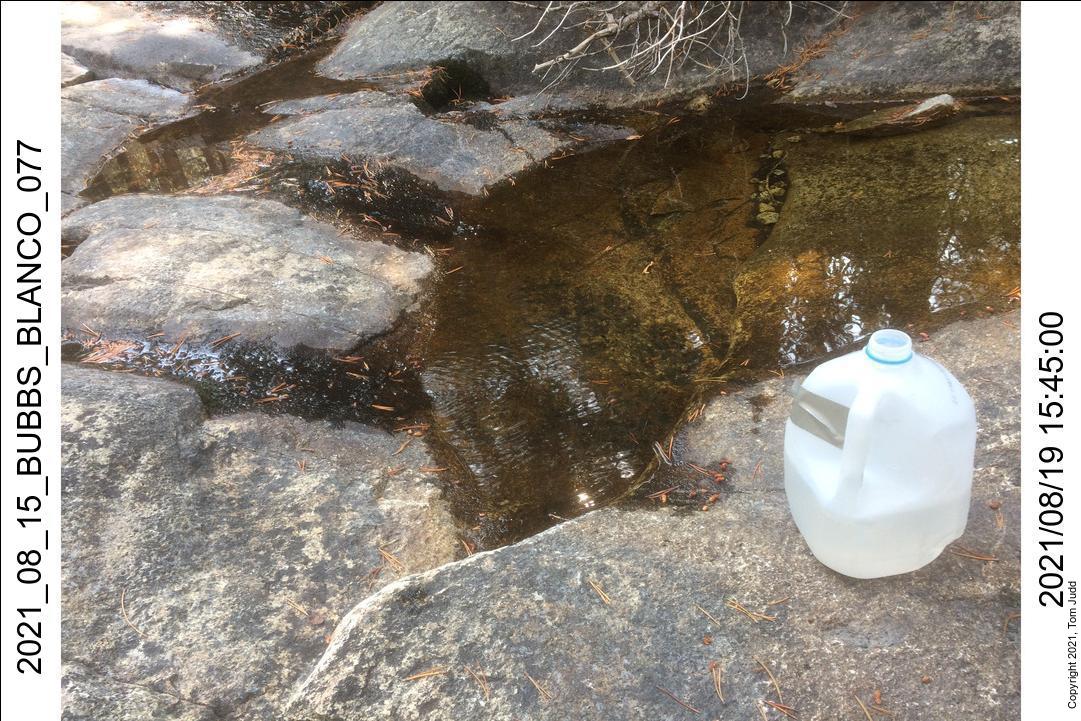
The timing was not great. I got to the lip that marks the beginning of the steep descent to Woods creek at about 4:30. I was still struggling down the slope when it got time to find a campsite. It was getting dark. I found a stout tree that had a semi-flat area on the uphill side. It was enough for a comfortable campsite on an otherwise very steep slope. I was able to grab a half gallon of water from the creek and carry it to my campsite. The Water jug is very nice.
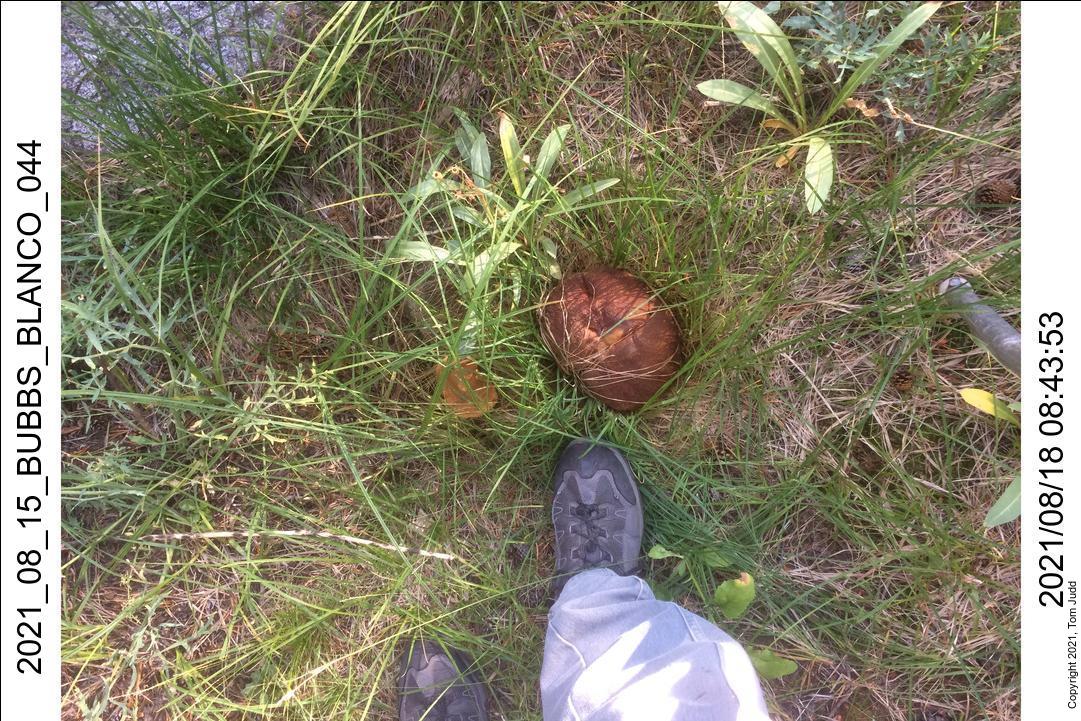
The next day I came across some relics. First, there was the remains of a bivy sack: an REI One Size. I though for a moment it might be the sleeping bag that Dale had lost around here in 2012. But it wasn't. Dont know how old, 1 to 10 years? Further down, as it started to level out, I found a horseshoe sticking out of the sand.
The steep slope made for sometimes awkward moments. I was squeezing by some rocks and trees at one point when one of my water bottles came out like toothpaste out of a tube. It tumbled quite a ways, but stopped just short of a cliff. Phew!
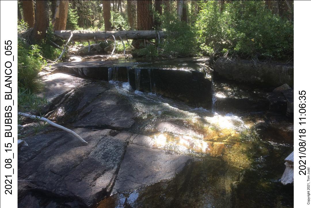
The last bit of the hike, just before Woods Creek, goes through very thick brush. It was a struggle. I was across the creek at noon. I stopped up the trail at a campsite I had used last year. It was very early; but the next campsite was a six hour climb. As it turned out, there was no water there. It was a nine hour hike to a campsite with water. Good thing I stopped.
Half Way
The hike so far is the cross-country version of the alternate and very popular Rae Lakes Loop. Instead of the top portion along the John Muir Trail, I have cut across the middle. Dale and I first did it in 2012 and from this point completed the loop by going back down Woods Creek to the trail head. For this trip it is only the half way point.
21-22 August 2021
I was a bit worried about having enough time to finish my planned loop. The two half-day hikes have shortened my desired progress. I might have to bail out to the John Muir trail at Bench Lake.
Today's destination is the upper Arrow Creek. I would first climb up the steep slope along Window creek, then hop over the hill to Arrow Creek. I had done this in 2016 and the reverse in 2020. I had gotten hung up for awhile coming down last year, so I was careful to enter waypoints into my GPS this time.
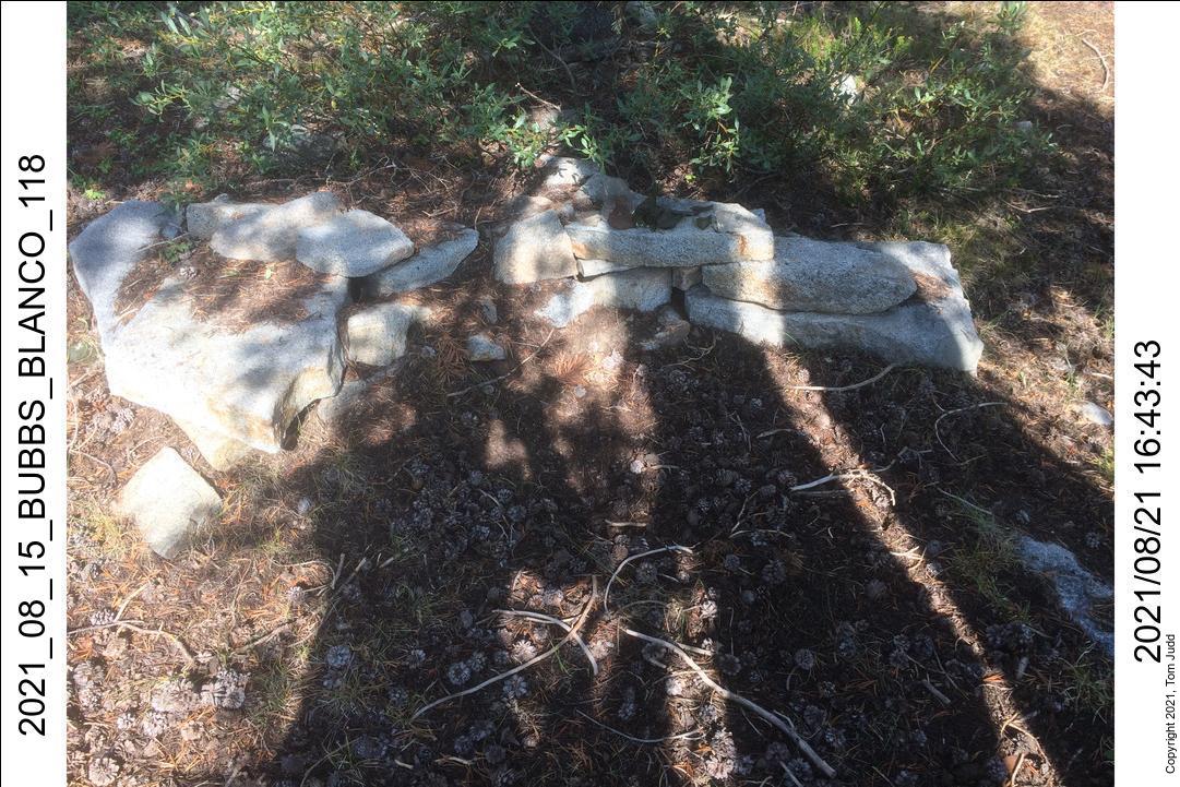
The hike up was long and steep. It was about a five hour climb from the trail up to the flat area beside Window creek. The creek was bone dry. I would have to wait until I got over the hump to Arrow Creek to replenish my water. I got to Arrow creek at about 5PM, the first real water source. There was a good flow. I found that I had stopped at a former campsite. It wasan't obvious at first. But then I noticed a low stone wall, and then a bunch of broken bottles and rusty cans underneath the leaves and needles and twigs. It must have been used over an extended period of time to accumulate the amount of trash. There was an old blaze mark on a nearby tree.
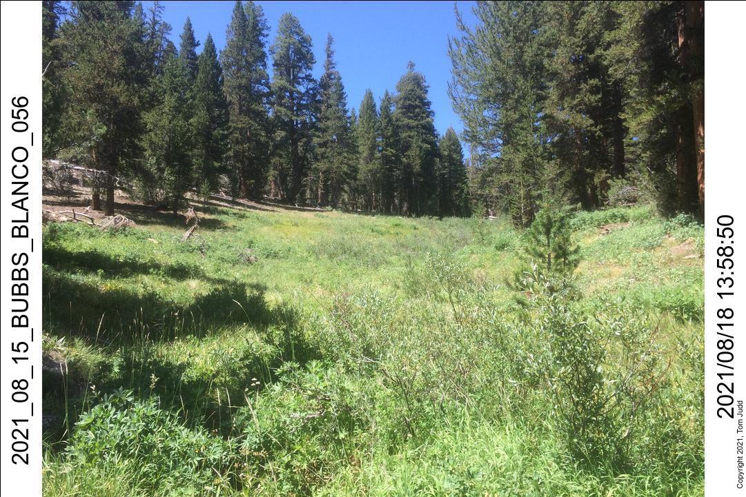
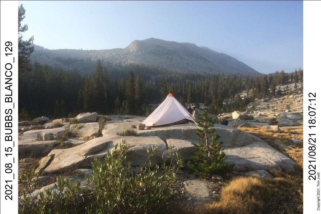
I hiked uphill from the old campsite for about a half hour after I had filtered my water. I set up my tent on a flat rock at the edge of a wide pretty meadow.
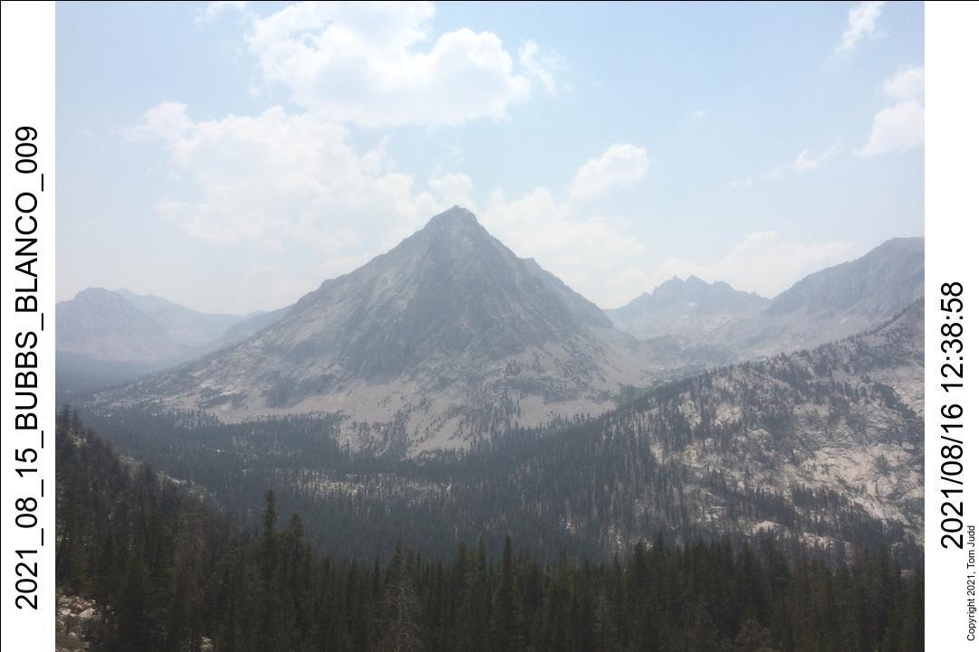
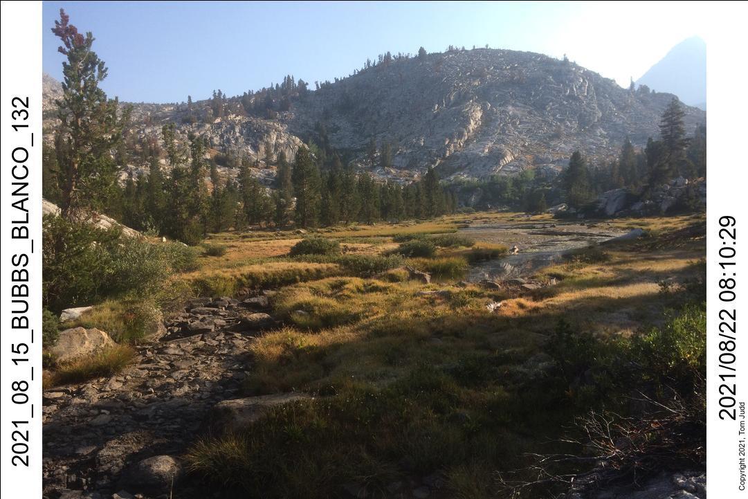
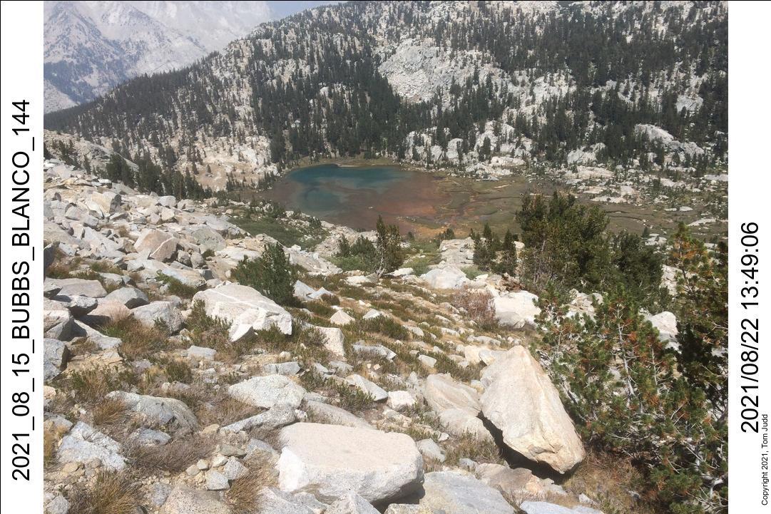
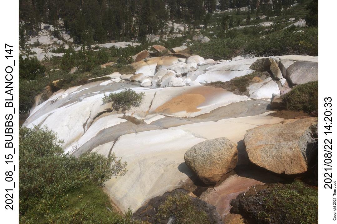
The next day I hiked up to Arrow Pass. The lake down in the valley on the other side is colored unusually in turquois and red. The creek that flows into the lake contains some mineral that dries white on the rocks lining the creek. Once around the lake I followed the creek down to the south fork of the Kings river in Muro Blanco. This is a new route for me. In July I had scouted for a route with Marin, but the one directly up to Bench lake was too steep. The topo maps suggested that this one would be easier. And it was! I had worried about the talus that you can see from Google Maps; but the rocks were small and the field was small. It was just a thousand yards (1km) up the river to my campsite which I made at 5:00 PM. It was 5 hours from my campsite to the pass, and 4.5 hours from the pass to my campsite.

The campsite after Arrow pass was number eight. I was quite pleased with my progress. Even though I had been delayed somewhat in the past few days I now calculated that I had just enough time to complete the full loop. It was just four more campsites up over Cartridge Pass, over the Sierra High Route to the Copper Creek trail and then the trailhead. But ... well, read on.
23-24 August 2021
I was up to P at 2:30AM. A pair of eyes glowed back at me across the meadow. I placed a carabiner in my metal cup and shook it. It makes quite a racket. The eyes bounded off, the hoofs pounded the ground sounding like a muffled bass drum. I guessed it was a deer.
I was feeling pretty good as I climbed up towards Cartridge Pass in the morning. I had come down this way last year but lost the unmaintained trail half way down. This time I was able to follow it all the way up. I got up to the first lake at about 10 AM. I got my map and compass out. I had come down this pass twice before, but never had I gone up. I identified the peaks and started up. Or rather, I MIS-identified the peaks and started up. I discovered my 30-degree-error at about 12:30 after I had climbed up the gully to the left. I first attempted to traverse to the correct path, but the rocks were too large and the path too steep. That little mistake cost me two hours of climbing. My plan to spend four more nights began to look marginal. Anything could happen in five days (four nights) of hiking. It dawned on me that the safest plan would be to take two nights to go down Muro Blanco instead. With a good deal of disappointment I turned around; went back down and stayed at the same campsite I had the night before.
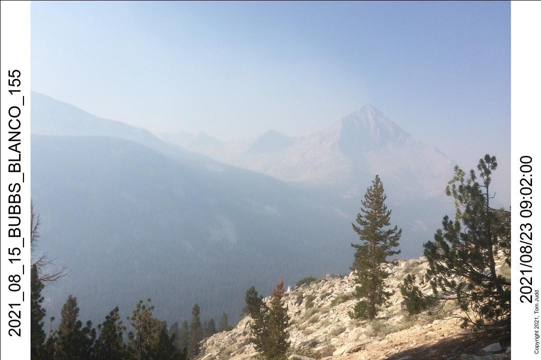
Overnight low was 36deg F (2deg C). So, I had breakfast in my sleeping bag. Started hiking down Muro Blanco at about 8:30. The morning was very pretty, easier than I thought it would be. The water level is low, so I could walk along the river edge on stones, or hop across when it got too difficult. I was very much feeling positive after yesterday's disappointment. The sky was clear, Arrow peak was so crisp. Yesterday it was almost unseeable because of the smoke. The easy hiking would change. As it happened the first time we went down in 2002, the hiking was easy in the morning, but the rest of the trip was grueling. It started getting hard about 10AM. It was pure bushwacking after that.
About 5PM I started looking for a good campsite. As it was, in the space of about 100 meters along the creek I ran across three large piles of bear poop. Even though it was flat, I didn't want to set up there. I finally found an open area across the creek that wasn't too steep. It was a comfortable night. This campsite was about half a mile upstream from where Dale and I camped in 2002 (Nineteen years ago!)
25-26 August 2021
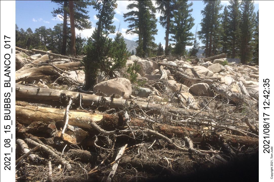
More bushwhacking today. Two things made it a long day. Towards the end of the hike to the Paradise Campsites I was on the left side of the creek and thought I could continue. I ran into some cliffs and had to backtrack quite a bit. Another choice I made was to go high up and around a thick grove of willows. I hate hiking through willows. One thing that had changed since the last time I was in this part of the canyon is that there were many more trees down, even along the use trail.
I broke out of the brush into Upper Paradise campsite just before 7PM. This meant that it took two full days to get down. The last time I did it with Dale it took a day and a half. It was a long hard hike down Muro Blanco.
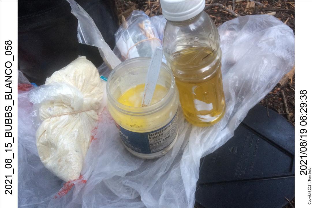
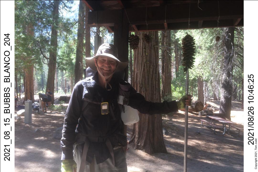
The next day I was up and lightly packed. I didn't need as much water and my food was way down. My backpack was so light that I could just lift it on like a daypack. It was a quick trip down to the trailhead. Got there about 10:45AM. Ranger Mary Clark, who I had met on the first day, was in the kiosk. She remembered me. I had her take my picture. I left the parking lot about 11:30, left Tulare after getting gas and hamburgers at about 2:30. Home at 8 PM. A few days later, after my body had a chance to equilibrate, my weight was 160.5 pounds, five pounds lighter than when I started the hike.
©2022 Tom Judd
www.juddzone.com
Carlsbad, CA
USA