I finally did it! I climbed up AND down the Observation Creek drainage. Observation Creek is about two miles
down the Middle Fork of the Kings river from where it joins with Palisade Creek. The bridge over Palisade Creek is down
so the trail gets less use than it otherwise might. It is hard to cross the creek early in the year when the runoff
is high. The trail has become overgrown.
The following are the attempts I have made:
2013 September. Got as far as Dusy Basin with Dale.
2014 October. Got to the foot of the climb. Able to ascend the talus rubble at two
places. Stopped when it turned steep. Noted a possible path up a crevice. Circled back
and scouted the creek draining Adventurer pass which leads to the top of the Observation
Creek Drainage
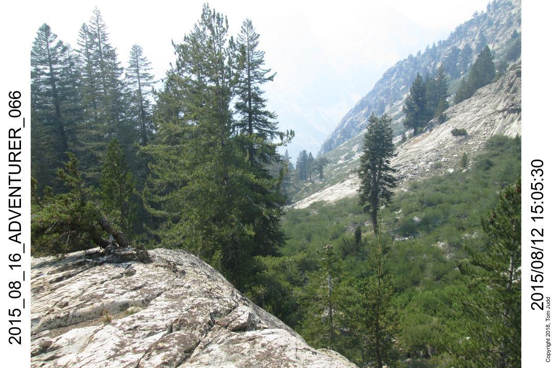
2015 August. Entered Observation Creek Drainage from the top over Adventurer pass. Judged
it too steep to try descending all the way.
2016 September. Entered Observation Creek Drainage from the top over Observation Pass. Still
too steep to descend. Visited Sea Gull Island.
2017 July. Too much snow, turned back after two nights. Planed to return later in the year.
2017 Sept. Partial success! Used path I noted in 2014 to ascend to a ledge up 300 feet (100m).
Pictures from that hike are included here.
2018 July. Complete success! Up and down about 1000 ft (300+ m)
Only experienced hikers should attempt this hike. Even so, there are seriously dangerous portions which
could be fatal given a momentary loss of attention. Do not hike here if you are tired. Use your best
judgment.
Wednesday 27.June.2018 to Friday 29.June.2018
It takes three days to get to the base of the climb from the trailhead at South Lake, going over Bishop Pass.
The first day I got super-weary from the altitude.
I camped in the rocks just before the steep crawl over the pass. The next day, I was much refreshed. I
continued on over the pass and down to Le Conte canyon. I then followed the trail down the Middle Fork of
the Kings River to where it is joined by Palisade Creek. This is part of the JMT. I was afraid to cross the
river at that point so I hiked a bit up the creek and camped for the night. The third day I continued on
up to a log jam, about a mile from the junction, and easily crossed the river on a log. It took a while to
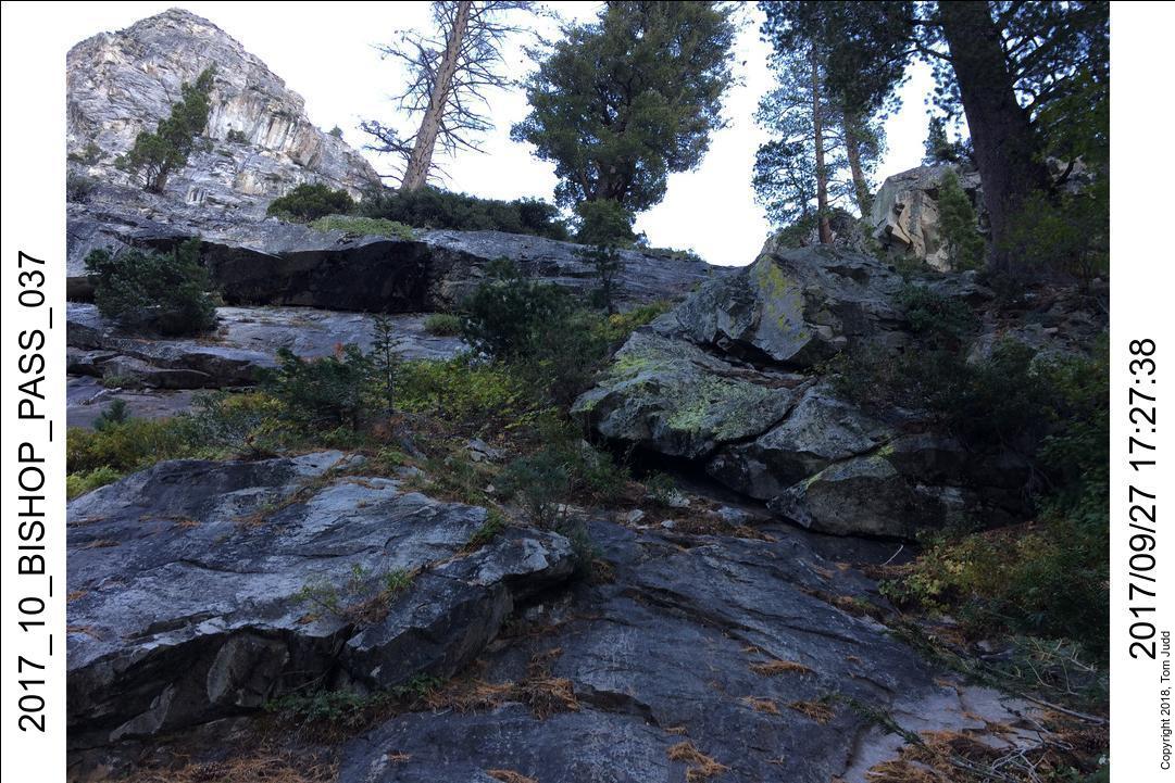
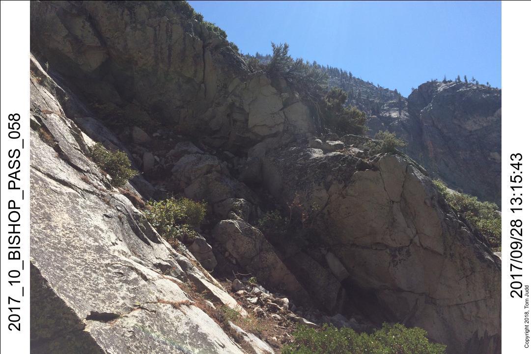
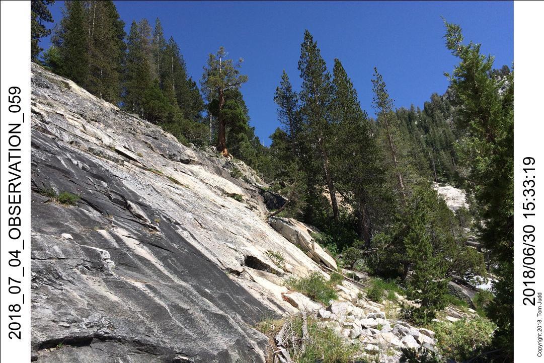
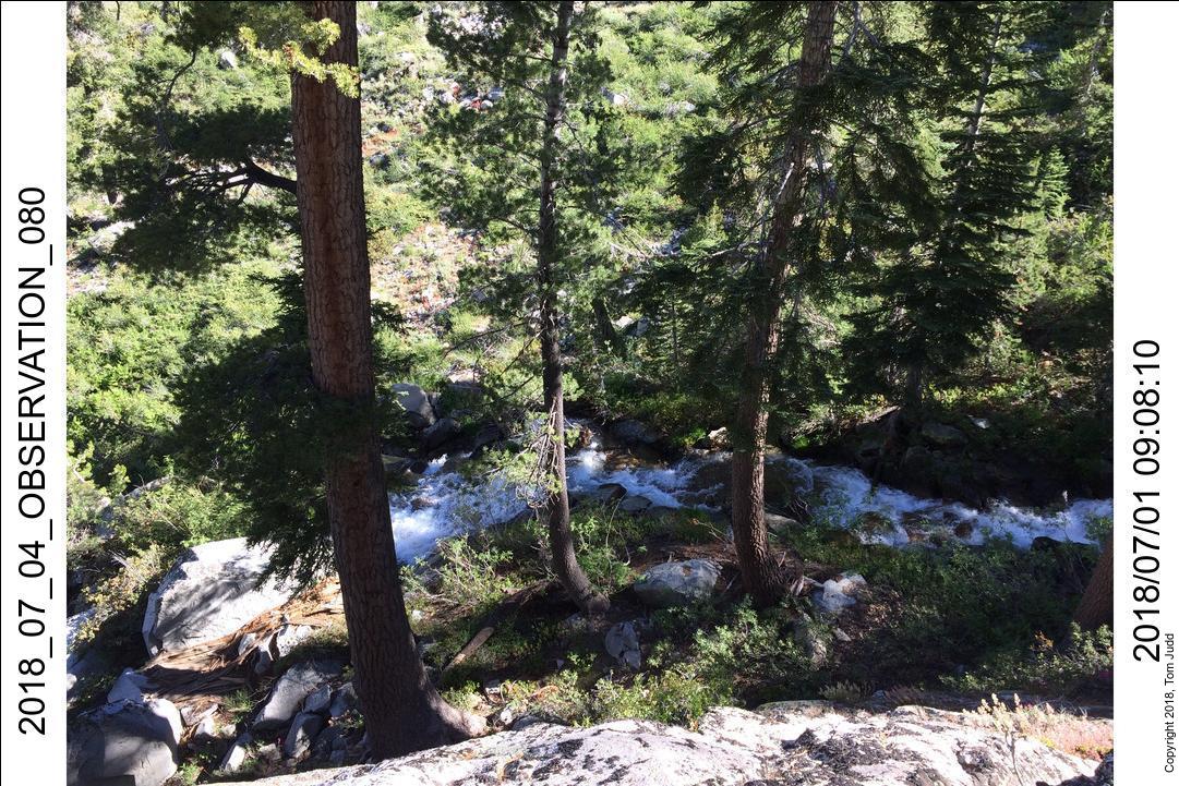
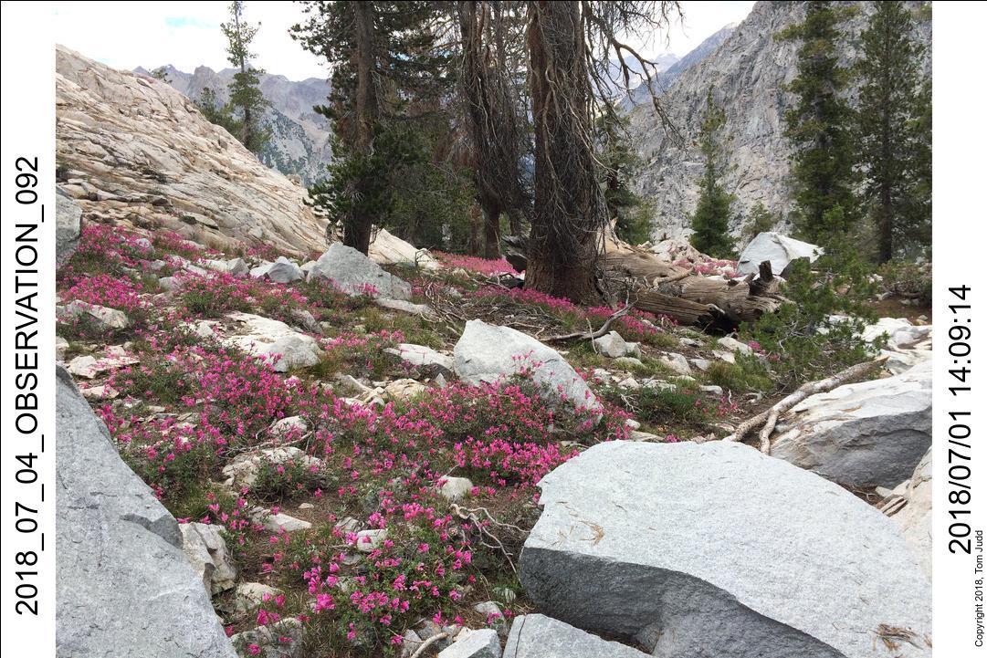
fight my way back down the un-trailed other side. Once I hit the trail I went about two miles down to the
outflow of Observation Creek (picture below). I camped within sight of the creek. The trail along here is
quite overgrown, so I sang loudly, and banged my pole on rocks so as not to surprise a bear. (Last year a bear
was snooping directly across the river from my campsite.)
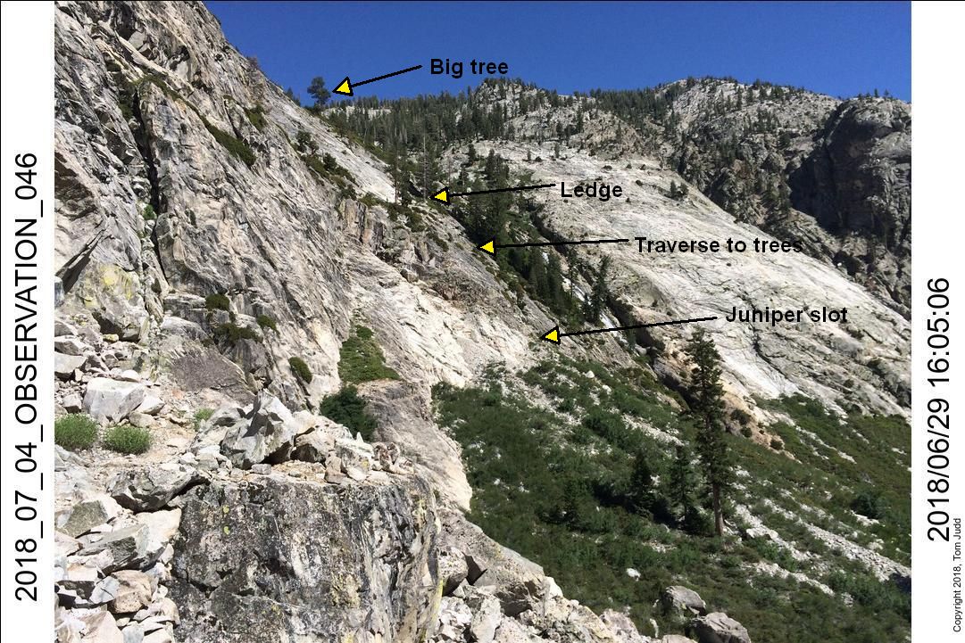
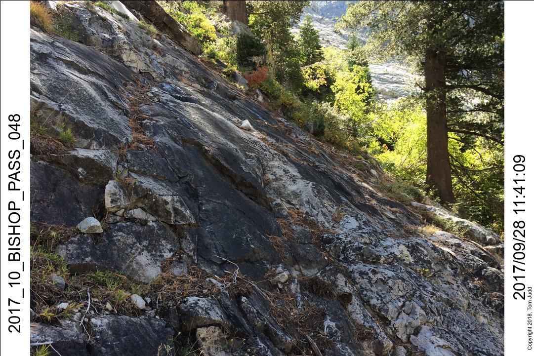
After climbing up the talus proceed up a juniper-filled slot. Go past four or five brushes in the slot
to where there is a slight leveling. You can walk over to a thin thin traverse that leads to the trees on the right.
30.June.2018: Day 4 Interesting Day
I remarked in my hike notebook that this would be an interesting day. Perhaps I would finally get all the way up
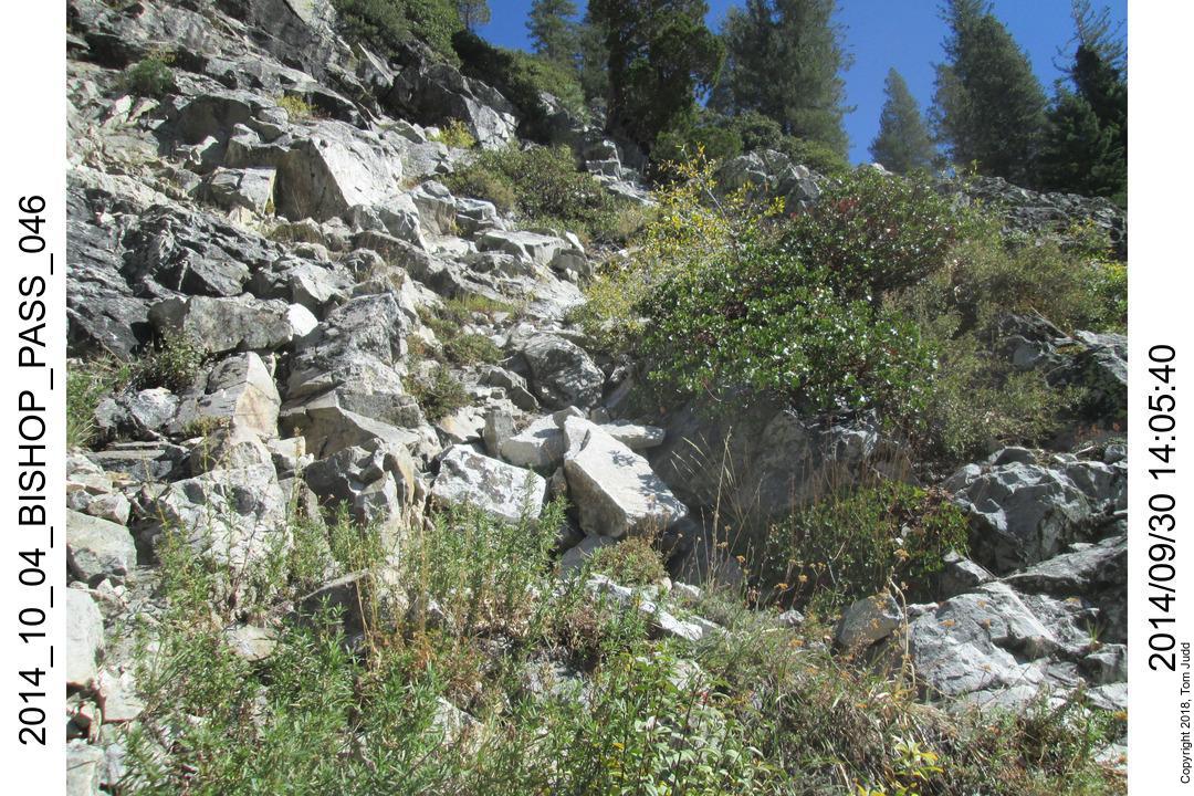
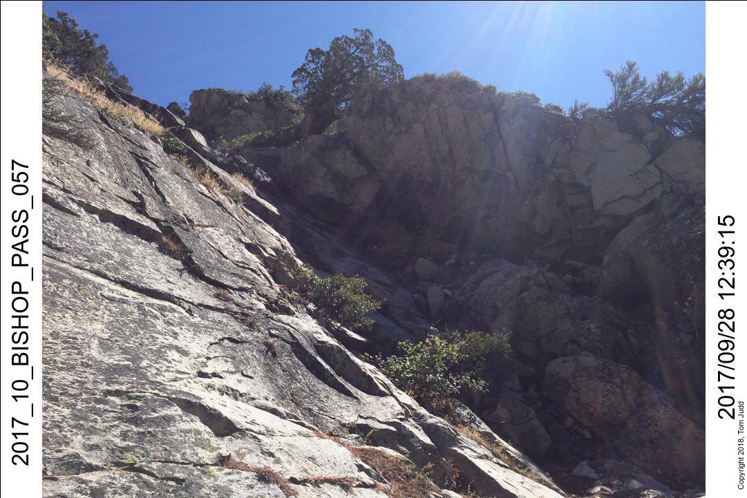
the creek. I did. I started a little after 7 AM. I climbed up the talus rubble until I got to the beginning of the
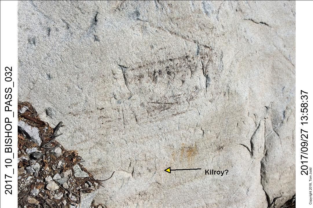
steep portion. In 2017 I discovered some graffiti carved into the stone at the base of the climb. Age has made any text
indecipherable, but there appears to be a 'Kilroy was here' icon in the mix of etchings.
View up at start of climb
View up the brush-filled slot that I noticed in 2014. This turned out to be a good path up.
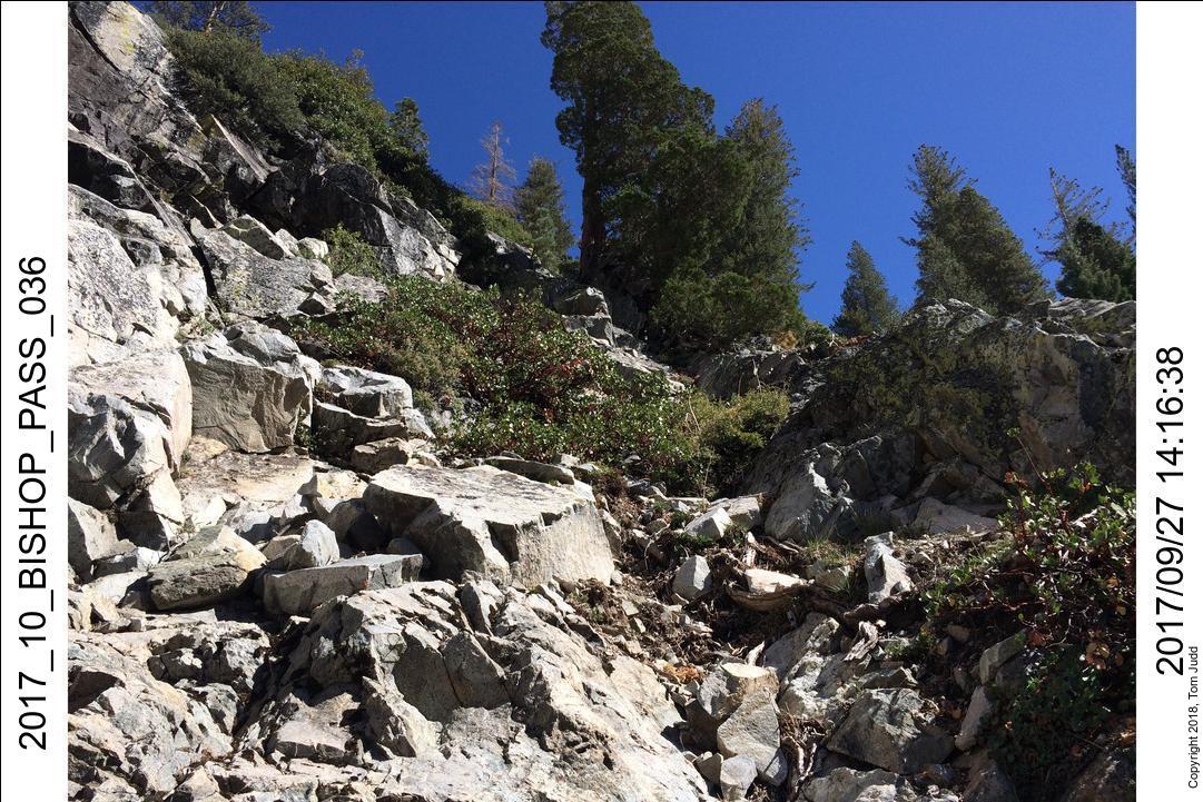
Same view in 2017. I used this slot twice in late September of that year to get up to the first ledge. Notice the two
trees on the skyline slightly left of center. One has leaves, one is bare. In the 2014 photo the bare one
was still fully green. These two serve as landmarks; they are on the first ledge. I call them the 'salt and
pepper' trees because of their coloring.
Traverse to trees
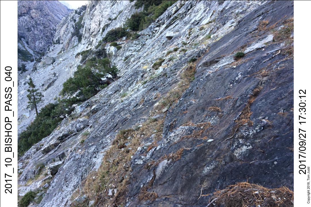
Once up the slot past the junipers the slope decreases for a short distance, just enough to stand and walk.
I went right towards the trees. In the picture you can see a thin path from the pine needles that
have collected in the slight undulation. There is a second path a bit lower that is clearer in the next
picture. The rock here is slick, polished smooth by eons of weathering.
This is the view looking back; the lower traverse is apparent in this one. You can see how steep it is.
Any mistake here looks like it would be fatal. Be extremely careful!
Once in the trees you make your way up to the ledge using the brush for handholds. Here
the view up shows the 'salt and pepper'(bare white vs full) trees on the ledge.
At the First Ledge (2017)
Once I attained the first ledge I came across a problem: how to proceed. There were three choices, pictured above.
None looked both safe and easy. On the left there was a wall that went out up and to the left. Next to the wall the rock
sloped away from the wall, so a slip would send me down quite a distance. I did not want to try it hiking alone. The center
seemed the safest. But, the way was blocked by a huge boulder. It was only a foot or two from being an easy climb around
the rock. But in that short distance was a lot of very slippery rock. I could chance it, but even a 90% success probability
was too low for me. On the right I could climb up to a ledge (patch of sun in the picture), but the next step
was too high to be done with a backpack.
One other consideration was my status once I got past this barrier. I didn't know if there were places to sleep or
easy water sources should I not make it all the way up. So, in 2017, I turned around at this point. I was disappointed.
But when I got all the way down and looked up I was encouraged by how far I had gotten. The steepest part ended just
thirty meters further up. I should be able to walk rather than climb the rest of the way. At that point, I decided
that my next trip would be here, and I would get through to the 'easy' walking.
Getting through (2018)
It took about 3 hours from the trail to get to the ledge again this year (2018). The obstacles did not seem
as imposing. I tried them all again and decided the brush on the right would be the easiest. I knocked
away the dead branches from under a bush that overhung the rock. The roll off was quite steep, so I was careful
to tie off my backpack, and always hold on to a thick branch as I scooted under. Once around I scouted up
the slope. It was very promising.
As I later discovered, the central path, the one blocked by the boulder, is a long slick gully. A log lies across
the top of the gully, about 100 feet up from the boulder. The safest route is through the brush on the right
rim (going up) of the gully. Going up, I strayed a little bit to the right and found myself out on the hard slick black
rock. Footholds were far apart. It would be a very long slide should I slip. On the way down I kept my heart out of
my throat by sticking strictly to the brush on the rim. Much safer!
About 100 feet further up from the log is a second ledge. On the way down I saw a weasel hop along here.
The brush opens up somewhat after the second ledge. You still have to fight your way up to the 'Big tree'.
All the fighting through brush going both up and down was hard on my pants and legs. I got multiple rips in
my pants. The hard woody manzanita shrubs were particularly rough on my shins as I tried to power through them.
About 100 feet up from the big tree is the third ledge. You could probably go to the left on the ledge,
I went right. I found a gray crevice with good foot/hand holds that enabled me to climb the slick face
of the rock. There are a couple of tiny trees growing out of the crack. They can help you spot the crevice
on the way down.
Once up the crevice it was a simple hike up to the lip of the slope.
I made it!!
It was about eight hours from the trail
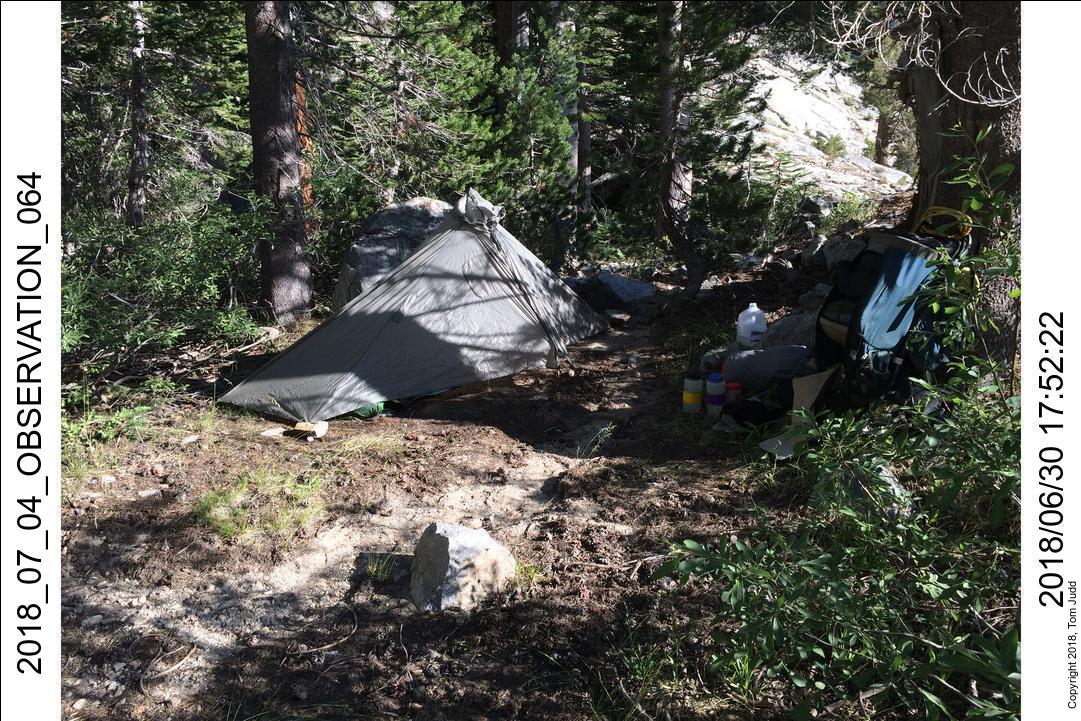
to the lip. I put up my tent in a flat area just a bit past the lip.
Exploring, Day 5, 1.July.2018
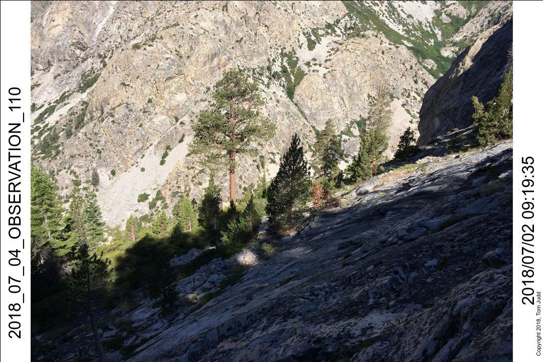
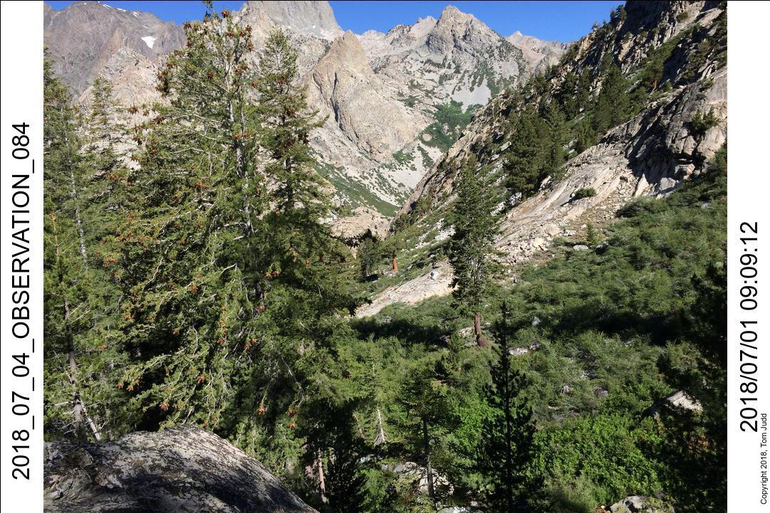
I wanted to complete the loop. I had been down this valley twice before from the top
in 2015 and in 2016.
Now, coming from the bottom,
I wanted to go up in order to demonstrate that a complete path is feasible from top to bottom. The 'Valley Bluff',
a prominent cliff in the middle of the valley, had been the furthest I had previously ventured down. Here in
2018 I reached the same point coming up from below.
The same view in 2015 and 2018.
The steep drop off I saw from here convinced me in 2015 that I should not expect to safely continue on down.
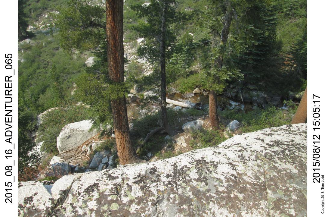
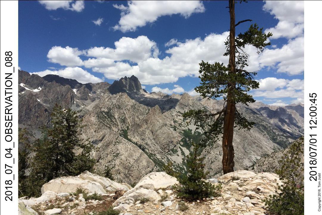
I also climbed up to my 2016 campsite, on the way up to 'Sea Gull' lake. The view of Devil's Crags
from there is picturesque.
Another picturesque picture.
Day 6 and on.
I camped one more night at the lip. On day 6 I made my way back down the creek. It took about seven hours, so I stayed
at the same site I used on night 3. Day seven got me to the campsite about 800 feet up towards Dusy Basin. Day 8 got me
off the mountain. I got to drive through Independence California on the 4th of July. I hoteled in Lone Pine.
I was home the next day before noon.
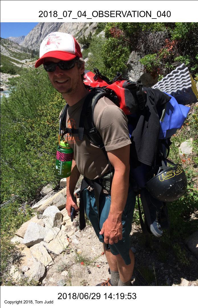
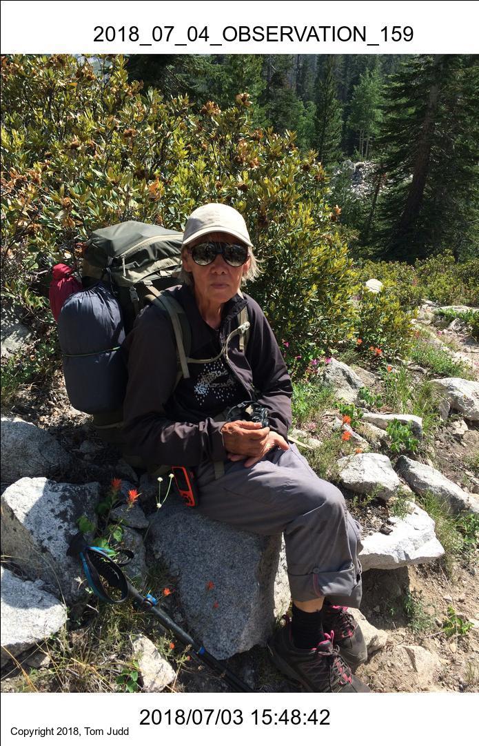
I met some interesting people on the trail, two are shown here.
Sam England is an extreme kayaker. He showed me some unbelievable videos of him going over falls along the
river here. He was hiking back because he had demolished his kayak on some rocks.
Elina Eriksson is an extreme hiker. This is her first trip to the USA. She aims to complete the PCT.
She has many athletic firsts to her name hiking all over Scandinavia and Iceland. She did not mind me asking; she's 71.